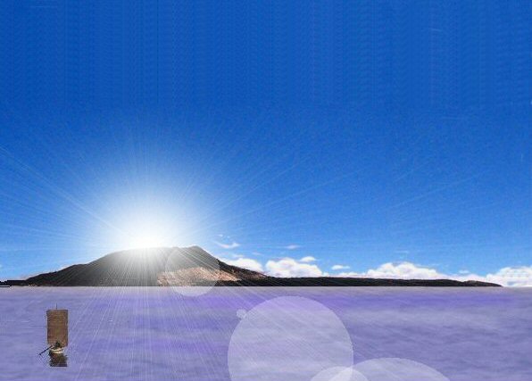
Above, an example of the "suka kollus" on the Bolivian Altiplano, irregular raised fields surrounded by water channels, now disused.
In the Bolivian Altiplano, there exists many remains of ancient canalised fields called suka kollus or waru waru or camelones. These artificially constructed raised embankments are separated by water channels which modify the environment and raise the local temperature (on the Altiplano) as well as providing nutrients for the soil when the channels are dredged and deposited on the embankments.
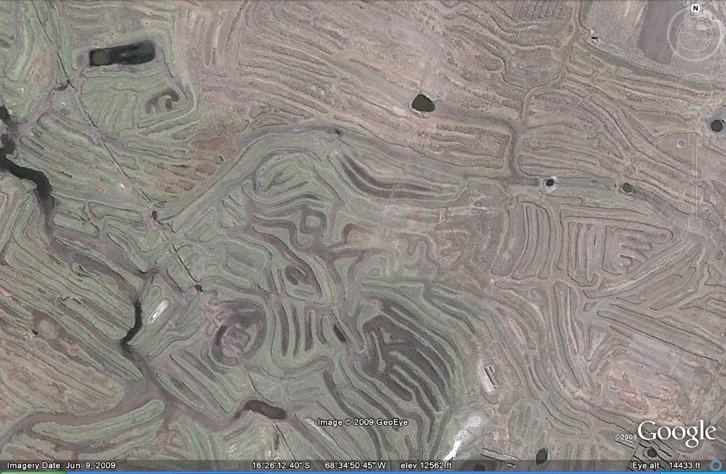
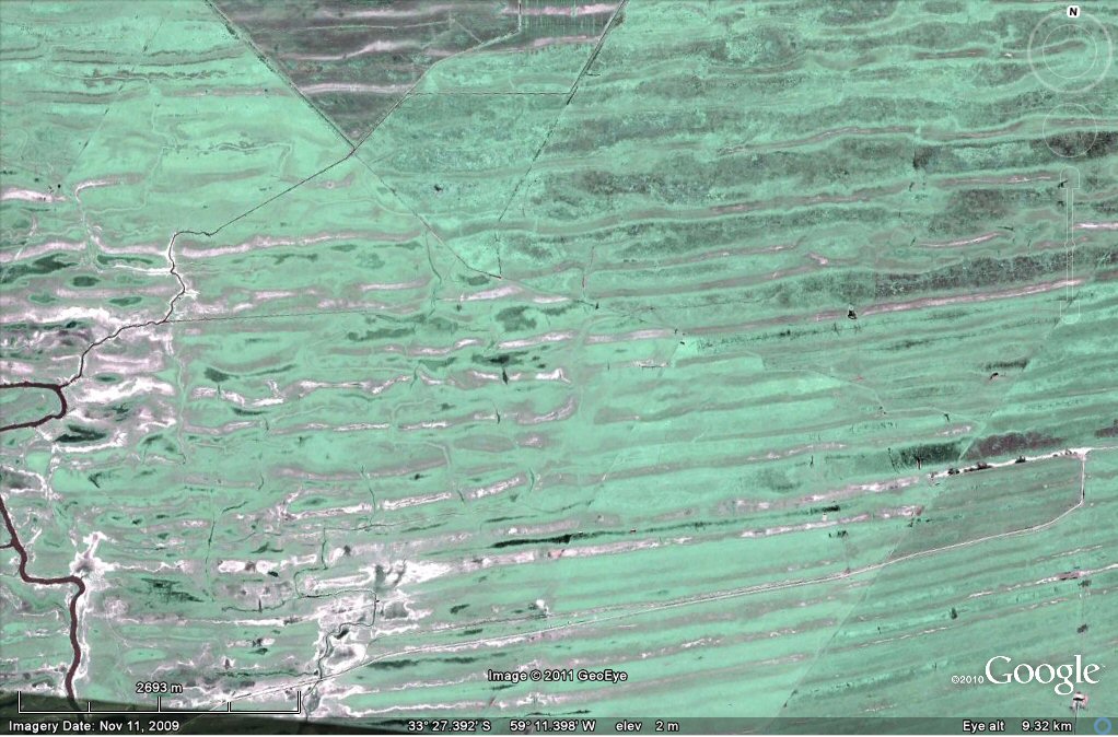
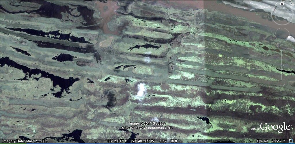
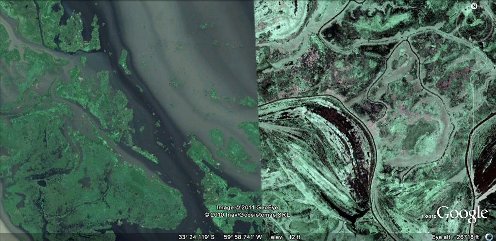
These satellite images appear to show remains of a similar system but on a much larger scale in the delta region of the rio Parana bordering Argentina, possibly adapted from what may originally have been natural features.
Above, an example of the "suka kollus" on the Bolivian Altiplano, irregular raised fields surrounded by water channels, now disused.

Above, an example of the "suka kollus" on the Bolivian Altiplano, raised fields surrounded by water channels.
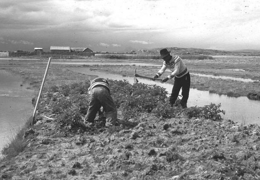
Above, suka kollus under construction/restoration in Bolivia.
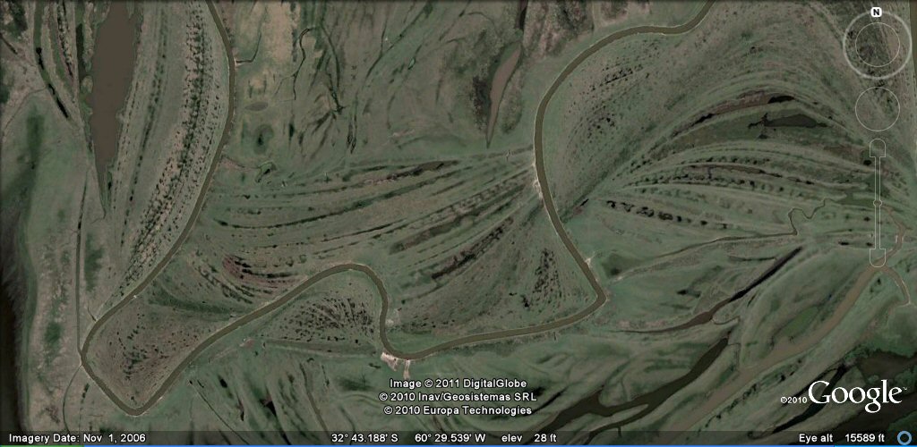
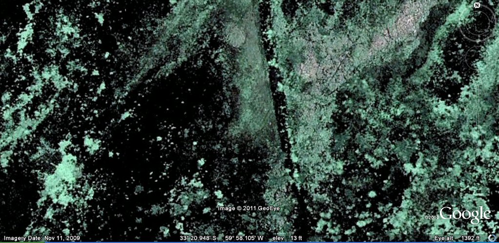
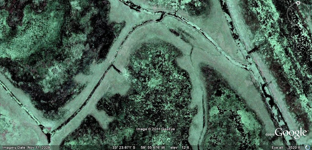
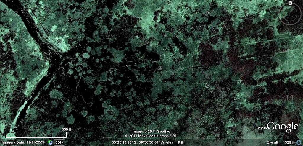
Towards the northern side of the delta are to be found multiple channels which at
first sight may appear natural.
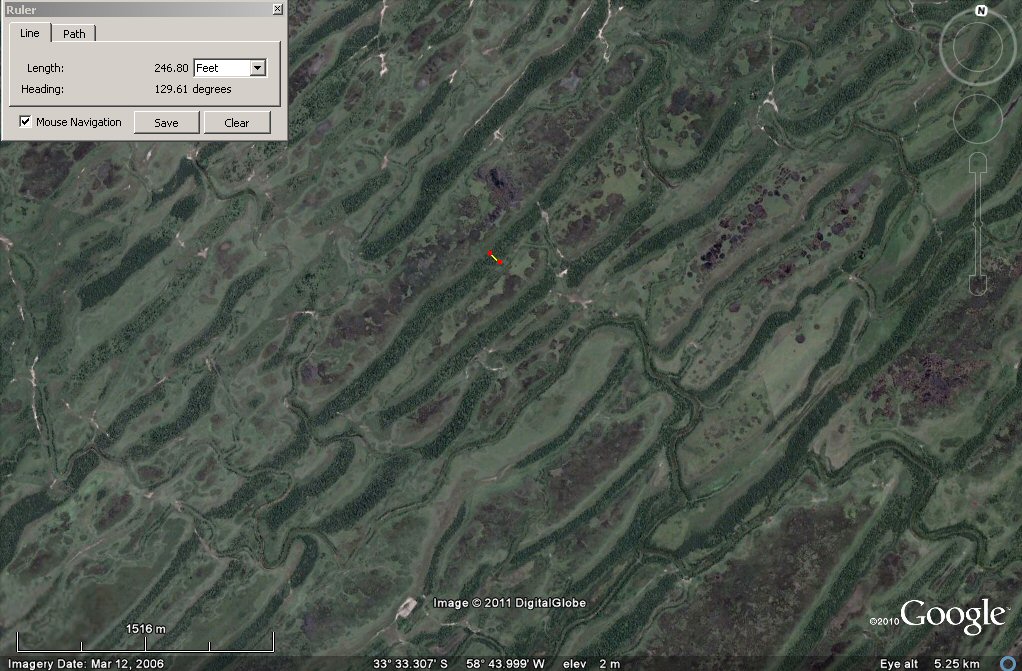
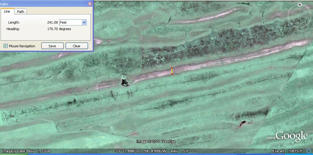
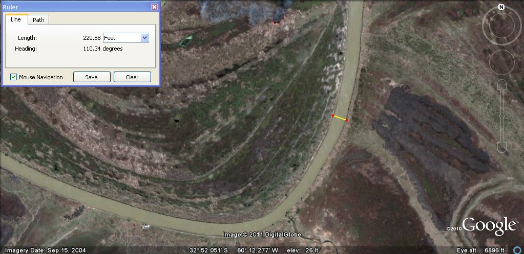
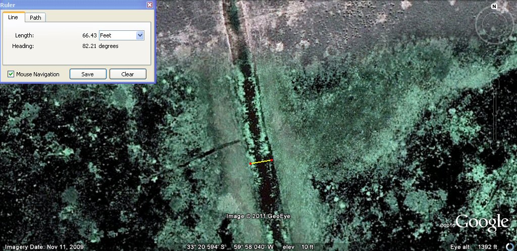
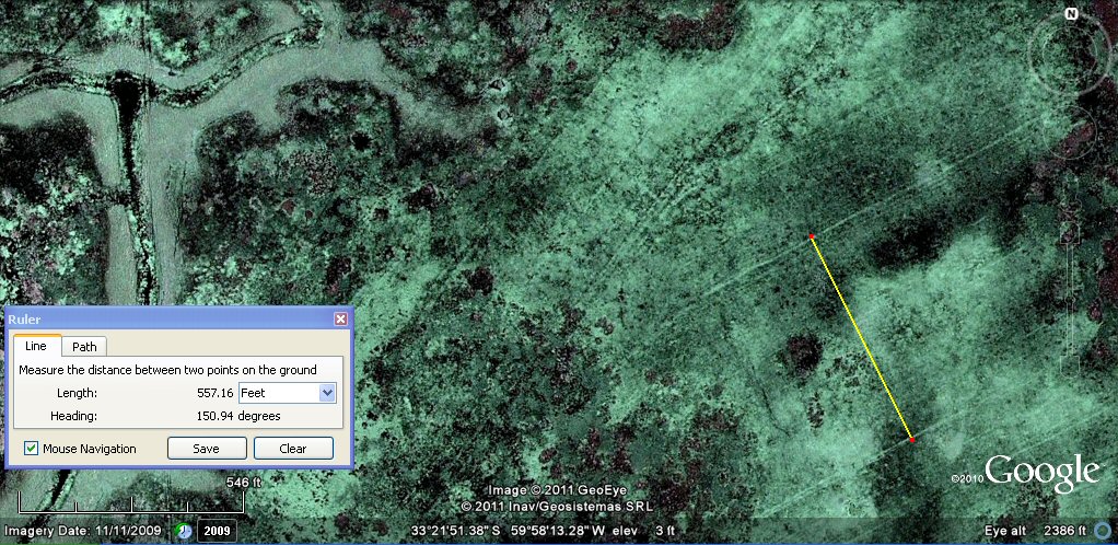
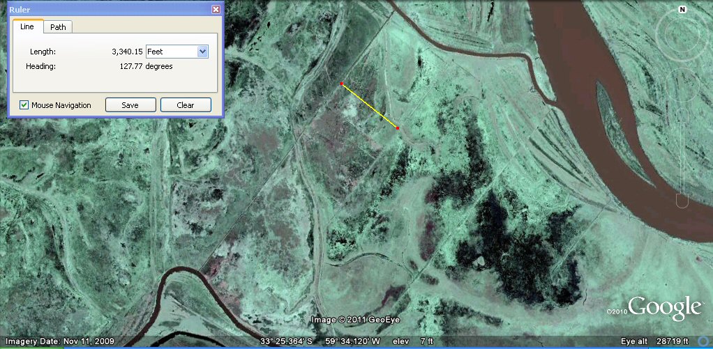
A close-up view suggests these channels and embankments may be
artificial and similar to the suka kollus of Bolivia, but of a much large size, the measured channel above
is 246 ft (75 metres) wide.
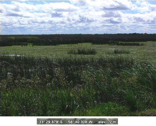
Ground view shows reed filled channels.
A close-up view suggests these are long, artificial channels.
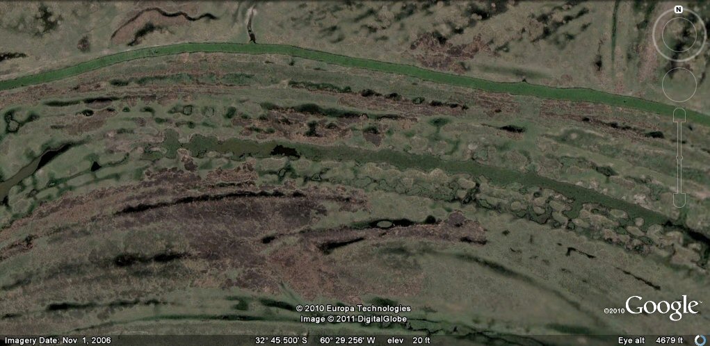
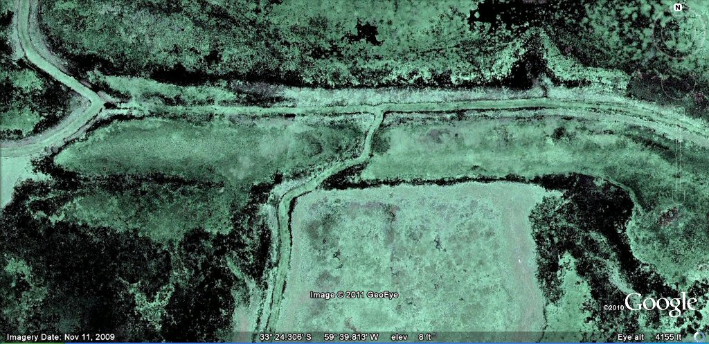
Close-up view showing what appears to be regularly excavated long channels between artificial embankments
What appears to be regularly excavated long channels between artificial embankments, with narrow straight canals which appear to have been dug over them at a later date.
Very fine channels have also been dug onto the embankments at a later date.
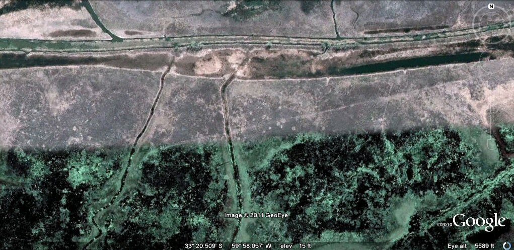
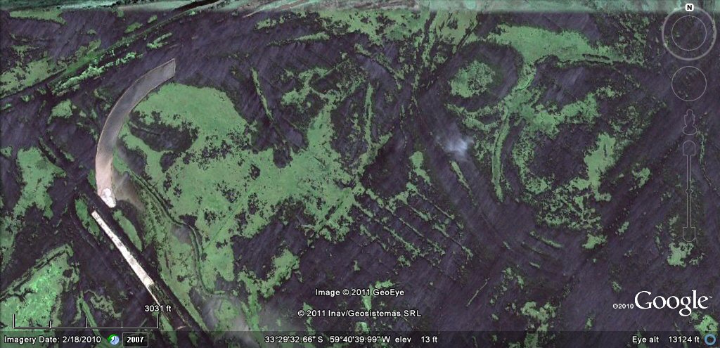
More apparantly disused and abandoned artificial channels and embankments.
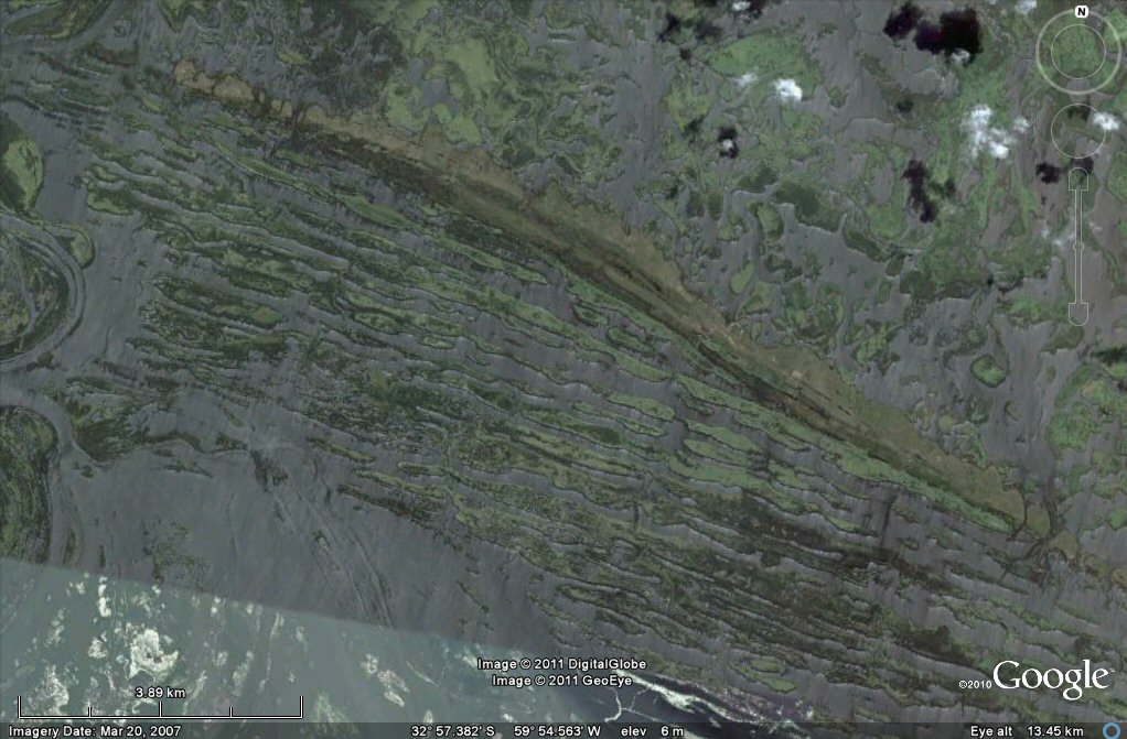
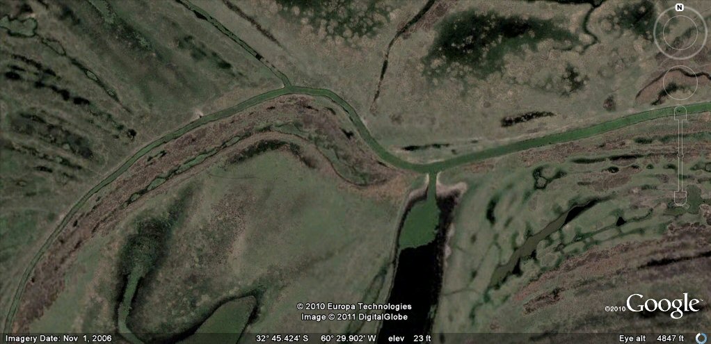
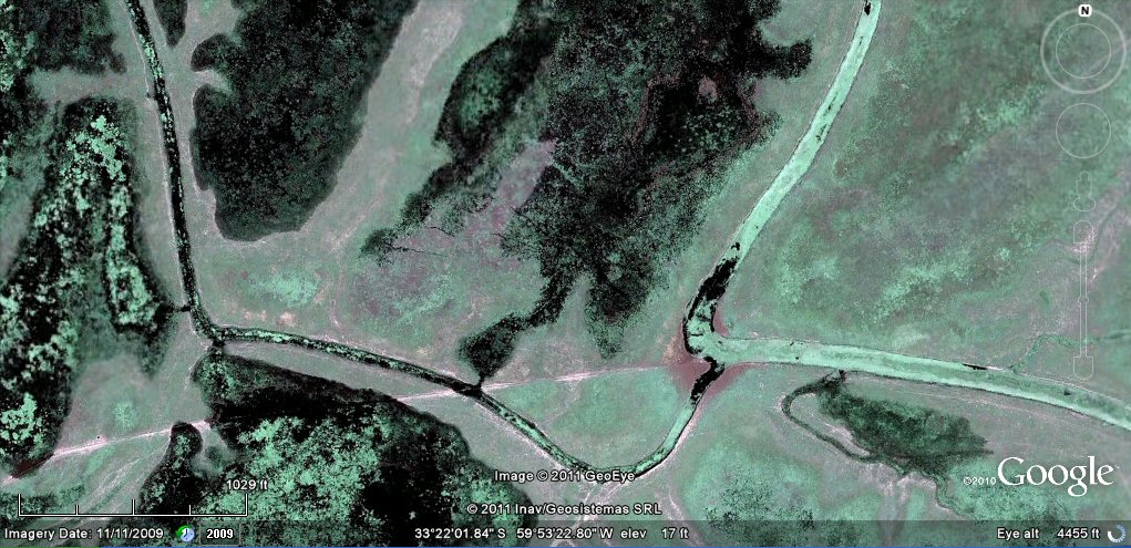
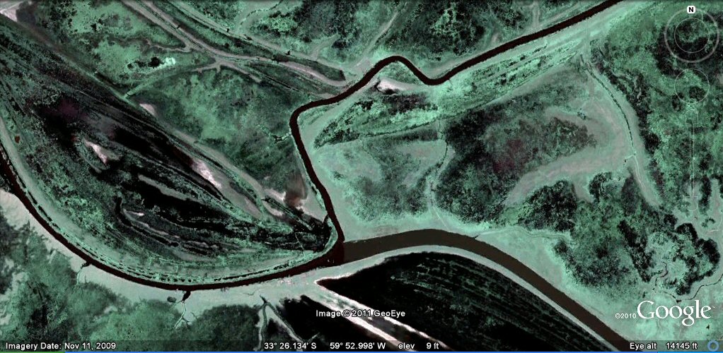
Are these all natural cut-offs of the river, or man-made features?
Close-up of parallel channels and islands, an ideal natural environment
which could have been adapted for human occupation.
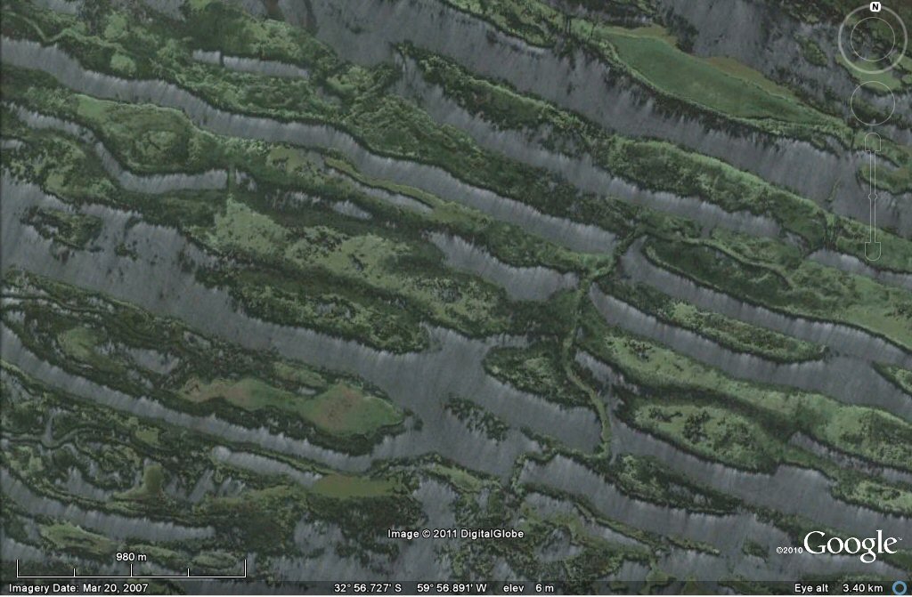
The parallel channels were at one time crossed by feeder channels, now eroded....
These are a type of "feeder canal" which interconnect many natural channels, opening them up to
water access....
These channels feed some peculiar formations....
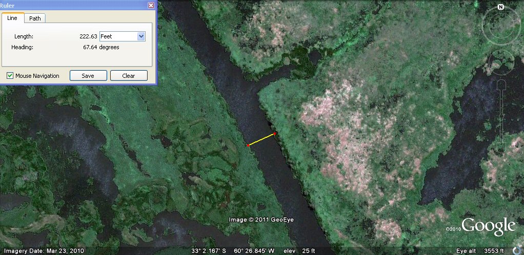
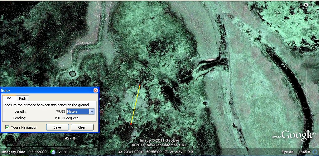
Close up view reveals channels about 222ft or 200 Sumerian feet wide....
One of the typical feeder channels which runs round the area....
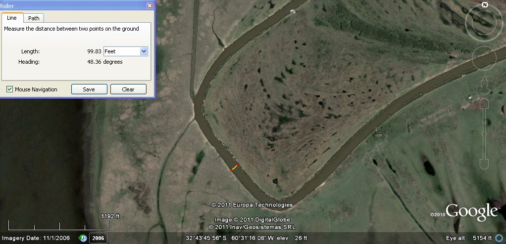
This secion measures about 99ft which would be 90 Sumerian feet or 60 Sumerian cubits....
This wandering sub canal supplies a few lagoons and is supplied by the feeder canal on the right....
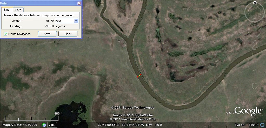
The sub canal measures about 66ft which would be 60 Sumerian feet or 40 Sumerian cubits....
This feeder canal measures 220ft which is 200 Sumerian feet which is 40 Sumerian double yards.
This small canal can clearly be seen linking two feeder canals....
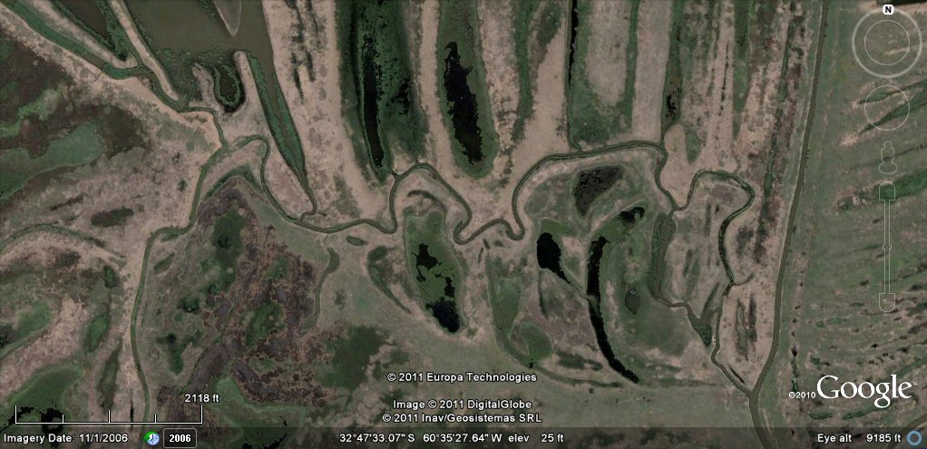
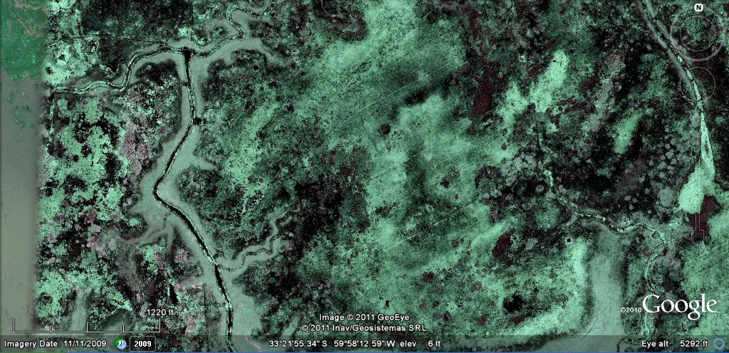
A variety of more clearly defined channels exists within the marsh... -
a feeder channel with branch canals....
This spur from a feeder channel heads south...
It measures about 66ft or 60 Sumerian feet wide....
It eventually disappears beneath the silt....
Others are clearer to see on this new, high resolution imagery....
Like this close-up of branch from a main feeder channel....
another close-up of another set of canal junctions....
The feeder canals also supply ponds, now disappearing in the mud.....
This oval pond 80 metres or 160 Sumerian cubits long has now almost completely disappeared.....
in this photo, the feeder channel on the left is 60 Sumerian feet wide and the
fine parallel channels running diagonally in the centre
have main canals at 500 Sumerian feet intervals.....
in this photo, the
fine parallel channels running diagonally on the right
have main canals at 500 Sumerian feet intervals.....
these parallel channels are not easy to spot at first.......
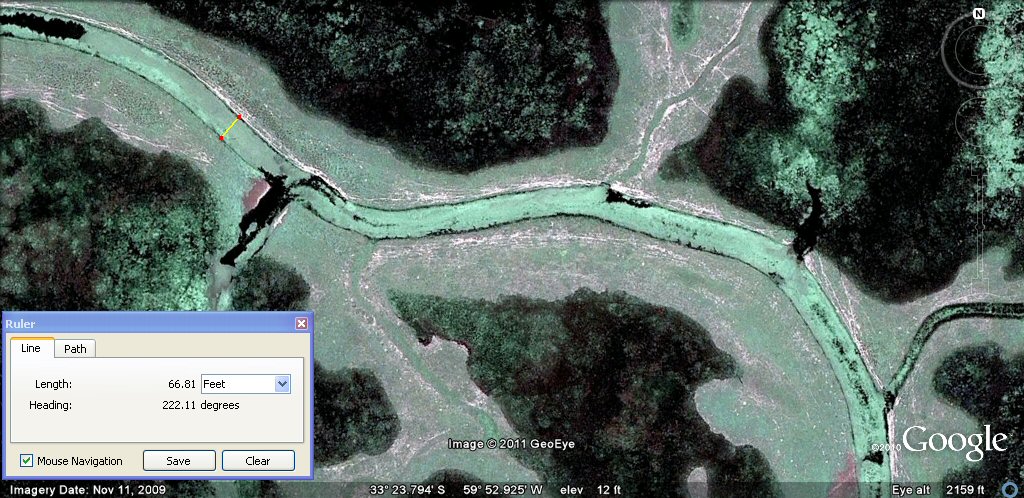
this feeder channel measures 66ft which is 60 Sumerian feet or 40 Sumerian cubits.
another example of feeder canal take-off from main canal.
Now you see it, now you don't. Two different passes of the satellite.... The left hand side shows the area flooded obscuring the details shown on the different pass on the right hand side.
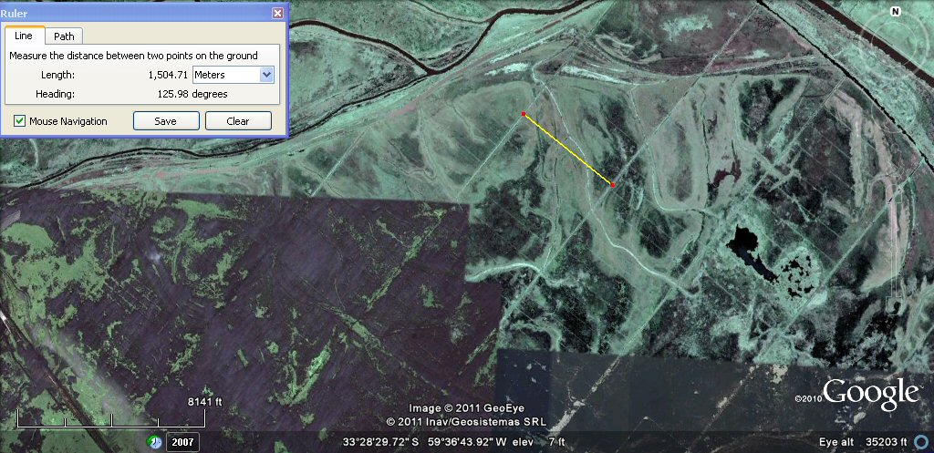
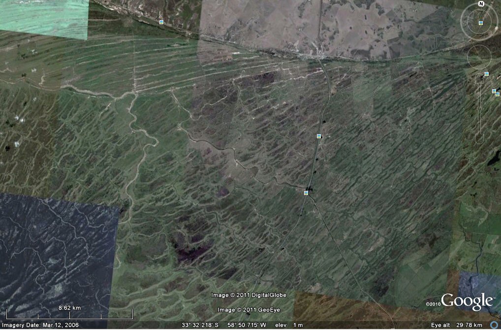
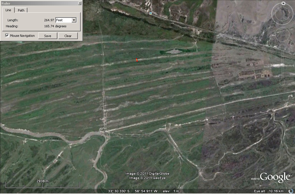
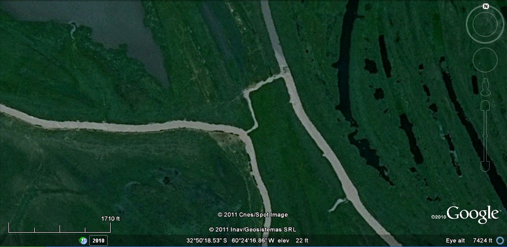
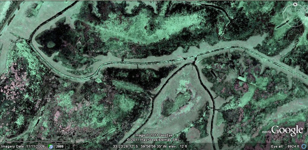
The delta region of the rio Parana has thousands of interwoven natural water channels and also many miles of those constructed/adapted by unknown peoples who favoured an aquatic environment with artificial ponds. It is also suitable for cultivation projects as seen by these straight canals above. Google Earth can't provide dates, but can certainly identify areas of interest like these straight canals. These parallel channels are 1500 metres or 3000 Sumerian cubits apart. It is not known at what age they were created nor at what age they were abandoned although industrial machinery was introduced to the region at some time, see photo below.

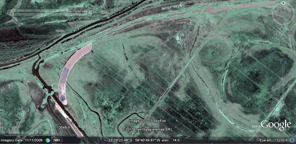
Terraplenes ground view.
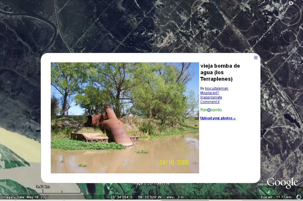
Pumps have been introduced at some time, but how old are the original canals or formerly cultivated areas in this region?
These parallel channels are 1 furlong apart which is 600 Sumerian feet or 400 sumerian cubits
or 200 metres....
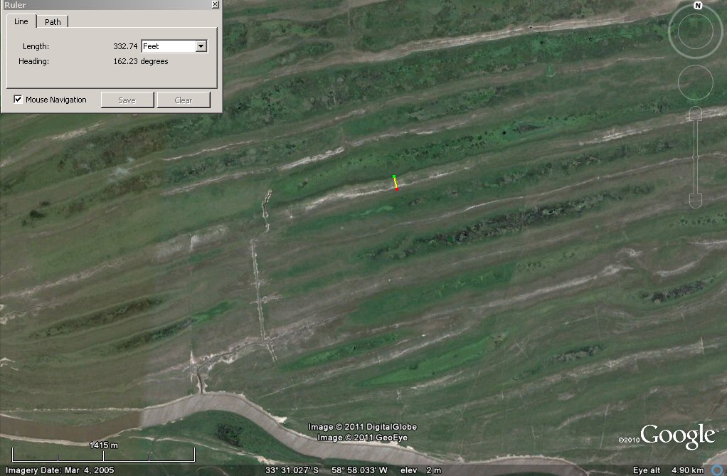
These straight canals
which are 3300 English feet, 3000 Sumerian feet, 2000 Sumerian cubits or 1,000 metres apart!
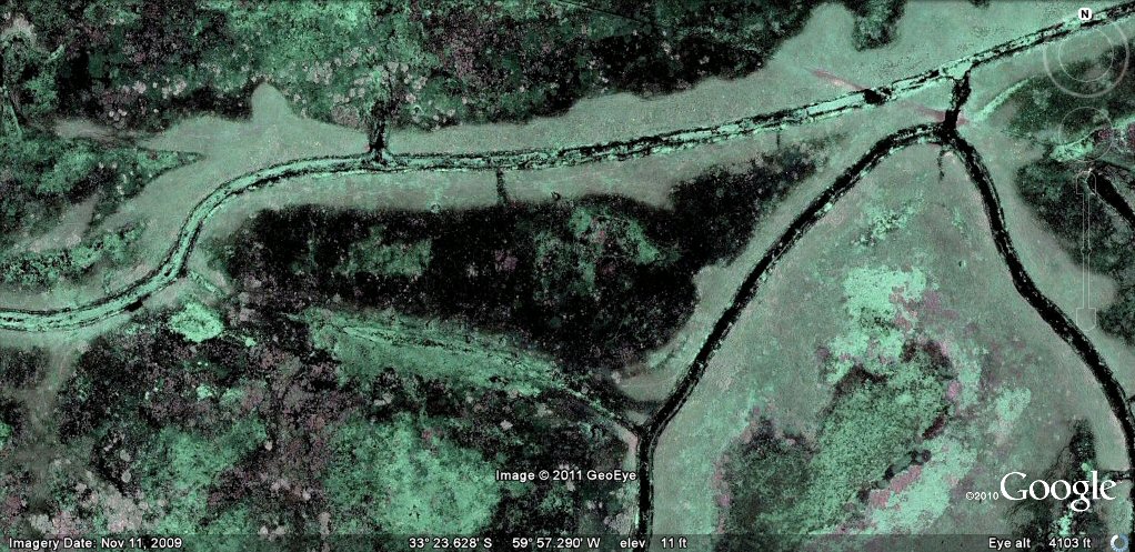
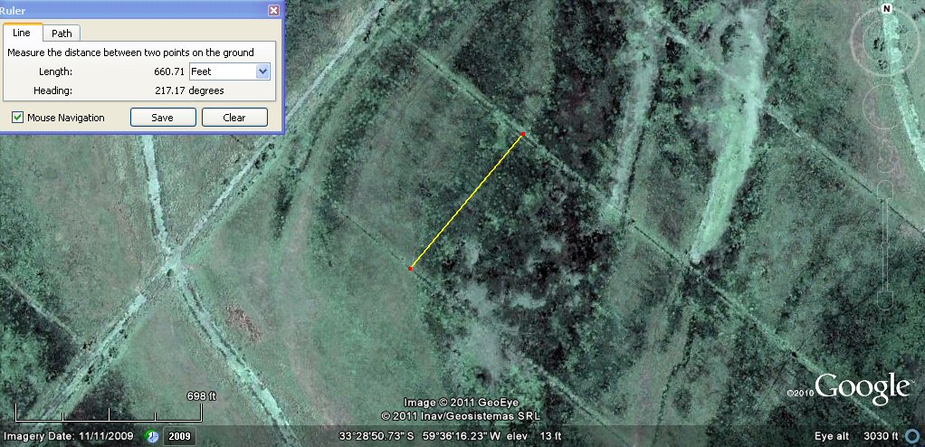
Parallel canals abandoned to the flood waters. The curved lagoon is
330 English feet, 300 Sumerian feet, 200 Sumerian cubits or 100 metres wide.
In the dry season, the soil probably benefits from nutrients brought down by the floods.
This sharper image shows how the parallel plots have been built over an older system of feeder canals and ponds and the curved lagoon was probably adapted from an earlier lagoon or canal.
protests against development in Delta canals zone
Selection of related studies,
Pantanal canals, ponds and islands
rio Paraguay levees canals
rio Parana canals, ponds and islands
rio Parana delta canals
rio Amazon to Manaus
rio Amazon west from Manaus
rio Orinocco to Amazon canal
Corrientes
flooding dates on the Altiplano
atlantis canals on the Altiplano
canals gallery
Chipaya canals gallery
canals in Peru
Caral, Peru containment canal
Tabasco, Mexico canals gallery
canals Louisiana
Paria, Oruro containment canals
canal to sea (lago UruUru)
Beni, Moxos gallery
geoforms - Bolivian altiplano
agricultural variations on the Altiplano
ringed hilltops
earthquakes
contour forms/irrigation Peru
contourforms/irigation Bolivia
Bombo earthquake route
Bombo route oblique views
Atlantis stade - Egyptian and Sumerian cubits
Tiwanaku cubits
Peru cubits and calendar
cubits between altiplano canals
Teotihuacan measuring unit
Teotihuacan citadel measuring units
Chichen Itza and El Castillo measuring units
Monte Alban, measuring units
Atlantis stones gallery
the Tiwanaku soli-lunar calendar
the Muisca calendar
Lost Calendar of the Andes
Decoding the quipu mathematics
J.M. Allen, January 2011
webatlantis@hotmail.com