Louisiana's Lost Wetlands
Earlier studies using high resolution Google earth satellite imagery show extensive remains of ancient
canals, ponds, artificial islands and harbours
all along the banks of the rivers Parana, Paraguay, Amazon, the Pantanal, and Tabasco in
Mexico
(see
canals parana rio for example and further links at foot of page.)
This page looks at examples of canals, artificial islands, ponds and
harbours along the gulf coast of Louisiana where there exists a large number of oil exploration canals
making it difficult to distinguish between those that might have been ancient and those of modern times.
The location was first brought to the public attention by John Jensen, see
Ancient Canal Builders.
Although not claiming the Louisiana site as the home of Atlantis,
John's page proposes that an ancient, aquatic based culture flourished in the Americas since
the Gulf Coast is covered in the remains of
apparantly ancient canals about 135ft wide and extra wide canals
such as about 1 stade of 605ft and even greater canals as much as 900ft in width. Some of these
canals run into the sea in what is now the Gulf of Mexico, crossing islands and emerging on land
again suggesting they were built at a time when the water level was lower, i.e. before
the land was drowned at the end of the last ice age by the rising waters of the Gulf of Mexico.
However the great majority of canals in this area were created by the oil industry and these
are considered by some people
as being the cause of the destruction and sinking of a large part of the Louisiana wetlands areas.
The vast number of oil industry canals also make it difficult to identify with certainty ancient canals in this region.
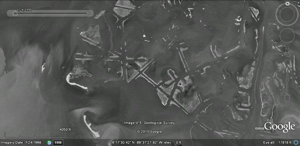
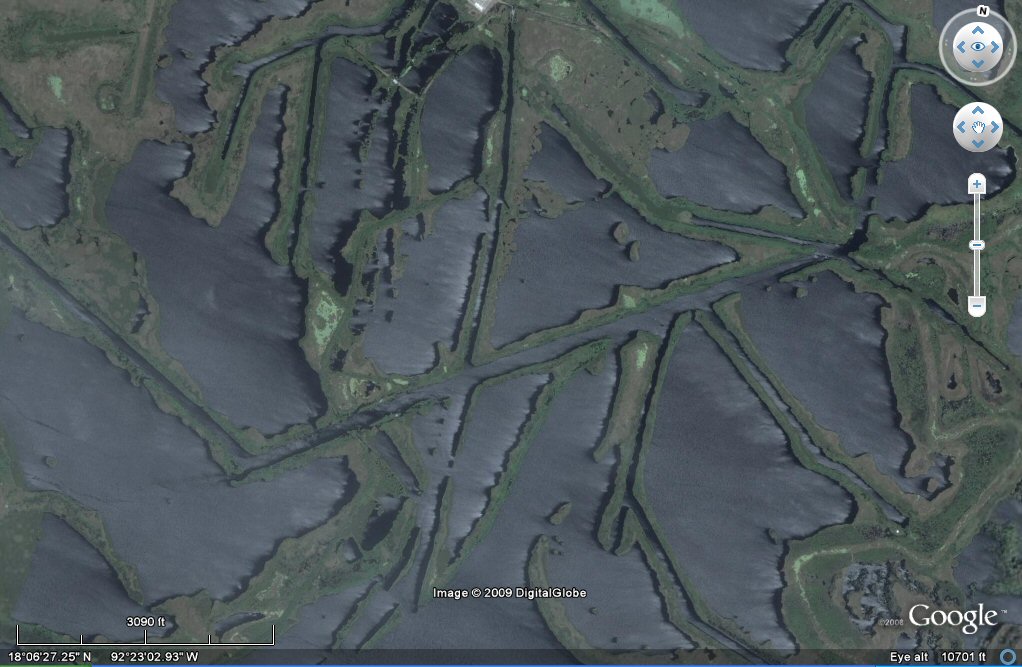
Some views from Google Earth
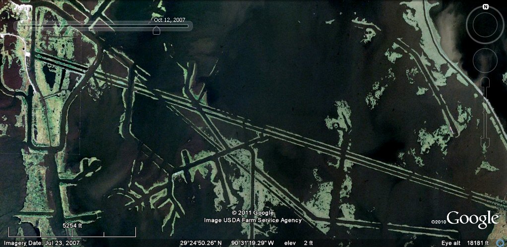
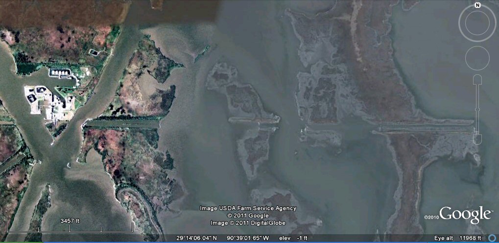
Above, this example of double-lane canal is part of a vast complex of canals, islands
and harbours all along the Gulf Coast of Louisiana with this particular example being in a region
south of New Orleans. Some people have dismissed these features as being the work of
modern property developers or the U.S. army corps of engineers who constructed parts of the intra
coastal waterway, whilst the major builder of dredged canals in the area are oil companies
who dredged access canals to their exploration wells.
Study of these images suggests that some canals could have belonged to a much more ancient period
and incorporated into oil companies networks but the majority in this area appear dug by the oil companies
although beneath these can sometimes be seen older canals more typical of
the ancient types associated with linked ponds and artificial islands.
Many of these
canals and islands have been
re-utilised by modern developers and some of the canals still
used and maintained today such as those parts incorporated into the intra coastal waterway.
Google earth is an
ideal tool for identifying sites of interest but by itself cannot tell you whether canals are ancient or more recent!
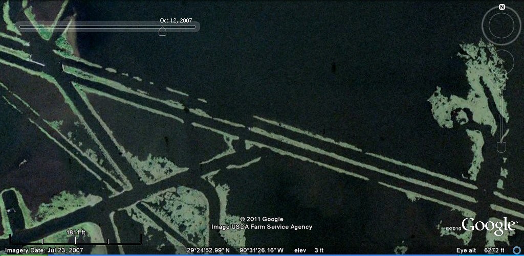
Above, this close-up shows how the sides of the canal have broken down in places and since the black areas are now water, the canal is effectively today passing through a lake.

Above, the double canal enters another complex, the canals crossing at right angles
appear to be dug through the double canal.
Above, close-up view showing how the double canals appears cut through by later canals.

Above, the double-lane canal continues south-east.

Above, the double-lane canal enters a flooded area and crosses through what is now an island.
Above, the double-lane canal continues through the now flooded lakes and crosses another
dry land area.

Above, the double-lane canal continues through the now flooded lakes.
You can see it entering on the left, and exiting onto part of an island at
the right of the picture. Other sections of
old canals can also be seen on the two islands in the centre and north centre of the picture.
The land area has been encroached
by the rising waters of the Gulf of Mexico, submerging the former canals and islands.

Above, enlargement of island at right hand side of previous picture. The double-lane canal
crosses this island in the middle of the bay.

Above, enlargement of island showing remains of the double-lane canal.
Google earth does not provide dating in this instance!

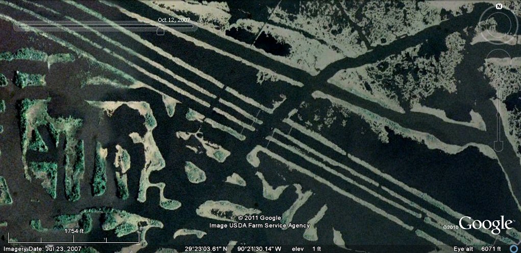
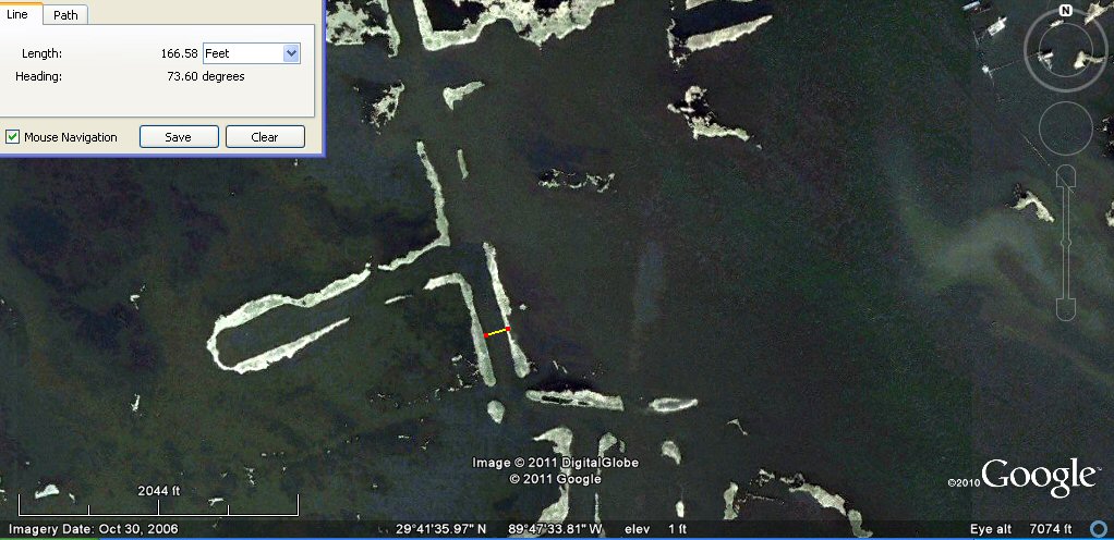
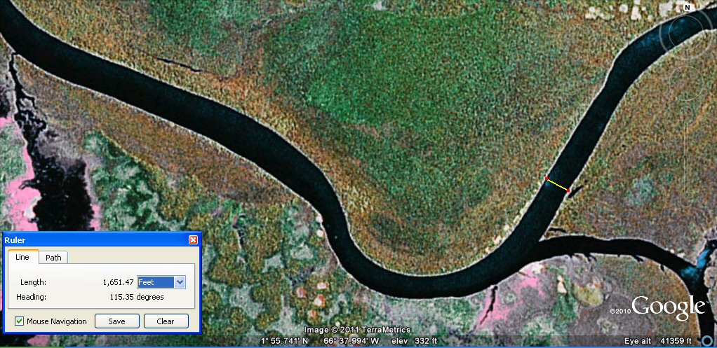
Above, Google earth measures one lane of the canal at about 135ft.

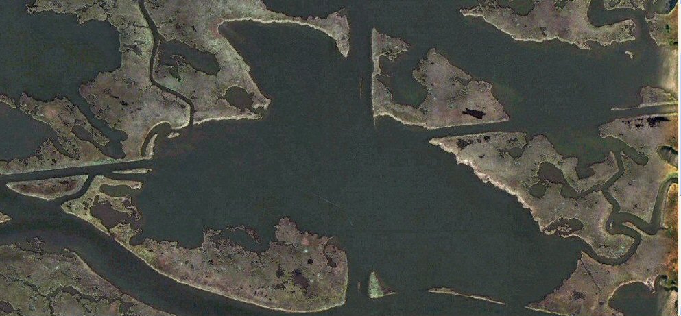
From the island at the left of the picture,
the double-lane canal continues across the bay to join another complex of canals on the right of the picture.

Above, the sunken canal complex shows up well in this picture.

Above, the canals lead to further sunken complexes.

Above, the ice age shoreline (dotted) compared to the present day shoreline
shows that the zone of sunken canals was dry land before the end of the ice age
although the present Mississippi river delta is said to have formed around 2000BC.
With the discovery of oil in this part of Louisiana, many canals were dug throughout the
wetlands to give access to exploration wells as an alternative to building roads. This makes it
difficult to distinguish between canals that may have been part of an ancient culture and
canals that were part of the modern oil extraction infrastructure of canals. The wetlands
landscape is the type of landscape that ancient Americans chose to live in,
adapting the environment with artificial ponds, canals and islands
but the vast canal works associated with the oil industry has completely changed the landscape
and led to the destruction of a great part of the former "wetlands".
This link on oil exploration canals suggest the above photos are examples of the type of channels cut for oil exploration.
canals and land loss

Above, oil exploration canals are blamed for the destruction of the Louisiana wetlands environment.
This complex of canals, islands and harbours appears to have been overwhelmed by the
rising waters of the Gulf of Mexico largely as the result of modern coastal
erosion induced by the construction of the canals themselves.
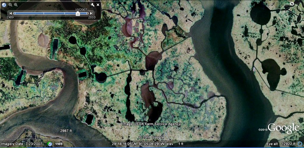
Further examples
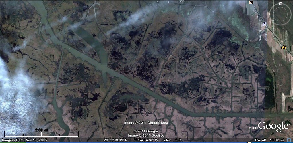
Above, by 1998, many canals were already being submerged.

Above, by 2007, many canals now disappeared and the wetlands turned into a vast bay.
Above, 1998 view including giant diagonal canal 928ft wide....

Above, 2007 view, many canals now disappeared due to the rising waters.
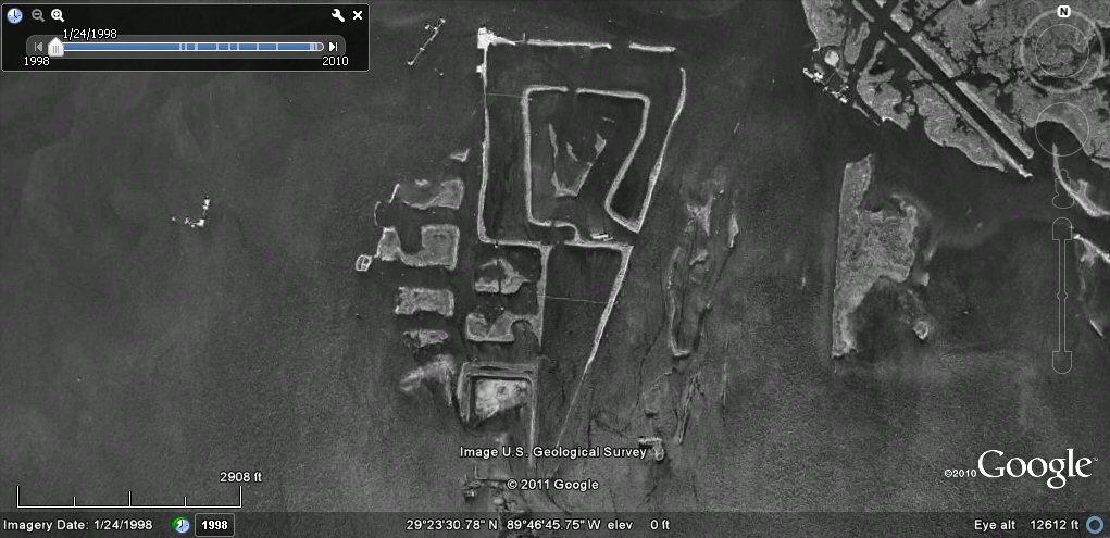
Above, 1998 view showing harbour complex which appears to have been adapted from previous canals....

Above, by 2007 the rising waters have created a "sunken harbour"....

Above, this 1998 photo shows a circular harbour complex of concentric rings 328ft in diameter,
built by the oil industry or ancient inhabitants of the Gulf Coast?...

Above, by 2006 the central ring has been submerged.

Above, map showing route of Inter Coastal Waterway. We can note the intended width of the modern sections at 125ft.
Above, this part of the Intra Coastal Waterway passes through an extensive canal complex of oil exploration canals..
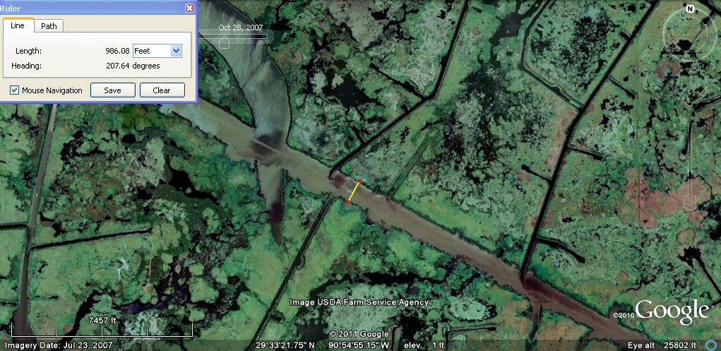
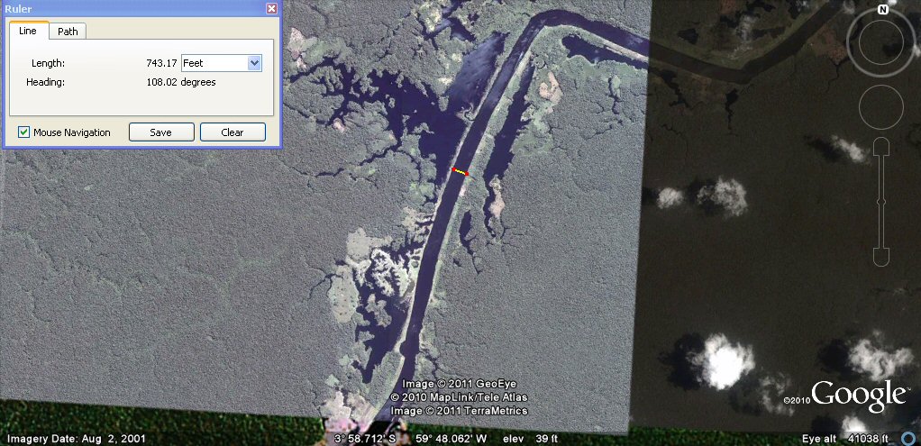
Above, this part of Intra Coastal waterway is 986ft wide, was use was made of an already existing ancient canal or was it completely dug by army engineers?.

Above, another example of canals complex possibly used for oil exploration.
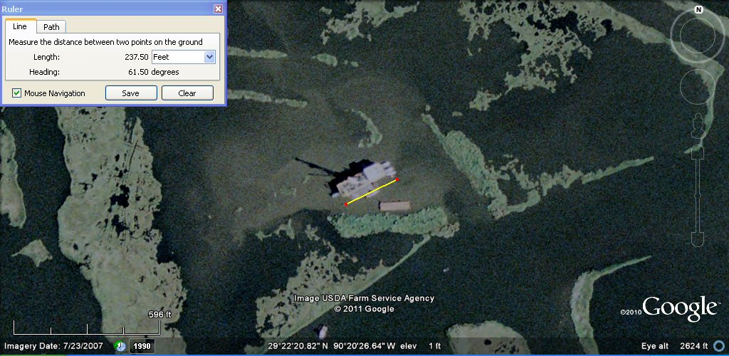
Above, example of oil platform approx 237ft x 70ft wide.

Above, the wide channel is 300ft wide.
Above, the double canal has been cut through by a later channel.

Above, the area now seems to be a centre for fishing. If all these channels were indeed
cut out by oil companies, then it seems an immense labour effort was involved and
it seems almost incredible that oil companies should cut such a great number of very wide channels
in such a haphazard fashion.
Above, oblique view.

close-up shows the double canal to have been built through older canals more typical of those of ancient Americans such as seen in Beni region of Bolivia..

The explantion of the double canals is given in this fishing article ...
pipeline canals

digging a new Gulf outlet in 1958
click for details of another new canal proposal

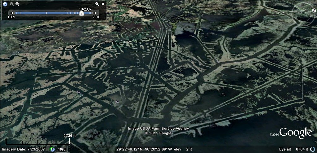
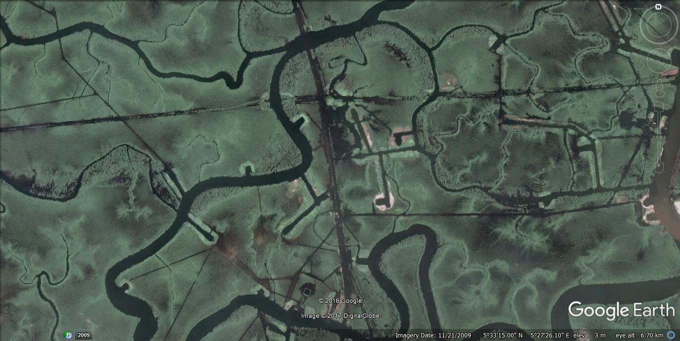
Above, another example of canals complex.

Above, another drowned canal complex in Louisiana, the hammerhead
tee-off branches suggest oil exploration, compare it to the following photo....
Above, this example for comparison is in
Tabasco, Mexico similar to the preceeding one in Louisiana. See also
Tabasco oil exploration canals for an update on oil exploration in Tabasco.
Above, this example of an oil industry canal complex is in Africa.... the hammerhead
tee-off branches are typical of oil exploration.

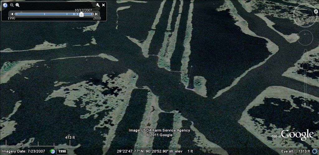
Above, more sunken canals and harbour complexes Louisiana region.
Above, this section of canal is about 165ft wide.

Above, this section of double-lane canal is about 256ft wide wide and appears to be part of a pipeline canal system..
Above, this section of semi-submerged double-lane canal crossed by east-west canal.

Above, examples of canals, the right-hand one is a continuation of the pipeline canal.

Above, this section of canal is 605ft wide.
Above, another drowned canal example.

Above, this section of canal is 768ft wide.

Example of artificial ponds and canals in the Gulf Coast region of Louisiana.
see rio Parana canals, ponds and islands for comparison.
Example of artificial ponds and canals in the Gulf Coast region of Louisiana.

on this example, oil well access channels apear to be intruding onto ancient ponds and canals zone

on this example, oil well access channels apear to be intruding onto ancient ponds and canals zone
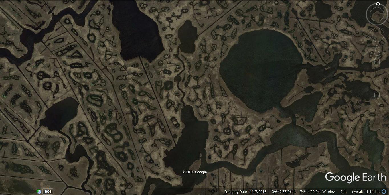
This example of straight line canals and ponds typical of ancient American canals and interconnected ponds is on the eastern seaboard of the USA.
Above, this example of canal for comparison is
in Amazonia see appropriate links below for further examples.
Above, this section of ancient engineered canal joins the river
Orinocco to the river Amazon
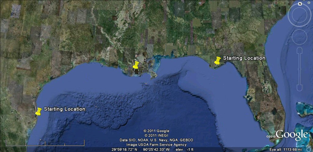
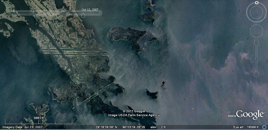
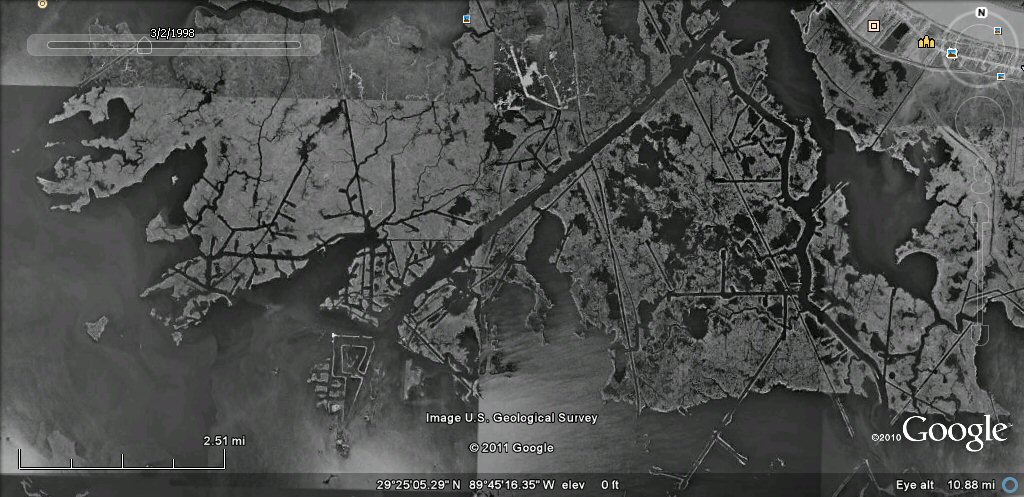
Above, an overview of the general Louisiana canal area, a canal system and extensive canal and island/lakes complexes
begins at the starting location on the left and continues
as far as the starting location on the right. The above examples are from the area of the centre pin.
See also additional studies,
rio Parana canals, ponds and islands
rio Paraguay levees canals
rio Parana delta canals
Corrientes
rio Amazon to Manaus
rio Amazon west from Manaus
rio Orinocco to Amazon canal
flooding dates on the Altiplano
atlantis canals on the Altiplano
canals gallery
Chipaya canals gallery
canals in Peru
Caral, Peru containment canal
Tabasco, Mexico canals gallery
Paria, Oruro containment canals
canal to sea (lago UruUru)
Pantanal
Beni, Moxos gallery
geoforms - Bolivian altiplano
agricultural variations on the Altiplano
ringed hilltops
earthquakes
contour forms/irrigation Peru
contourforms/irigation Bolivia
Bombo earthquake route
Bombo route oblique views
Atlantis stade - Egyptian and Sumerian cubits
Tiwanaku cubits
Peru cubits and calendar
cubits between altiplano canals
Teotihuacan measuring unit
Teotihuacan citadel measuring units
Chichen Itza and El Castillo measuring units
Monte Alban, measuring units
Atlantis stones gallery
the Tiwanaku soli-lunar calendar
the Muisca calendar
Lost Calendar of the Andes
Decoding the quipu mathematics
J.M. Allen, May 2011
webatlantis@hotmail.com

atlantisbolivia.org