Contour forms on the Peruvian side of the Altiplano
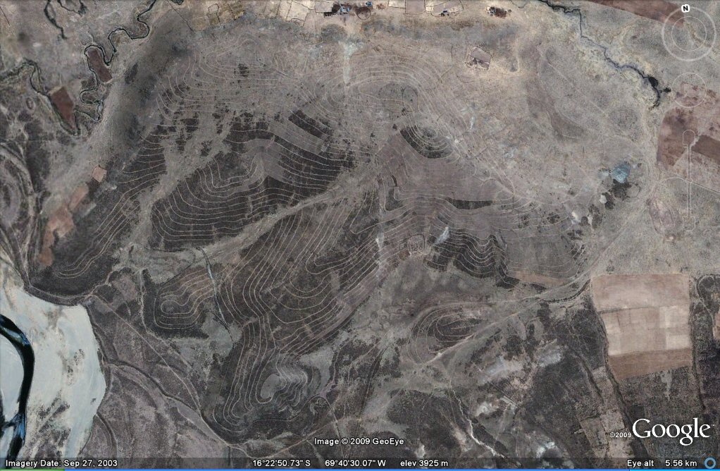

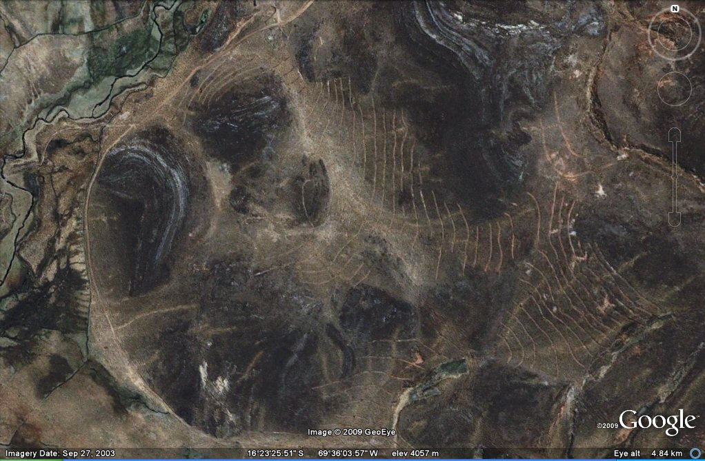
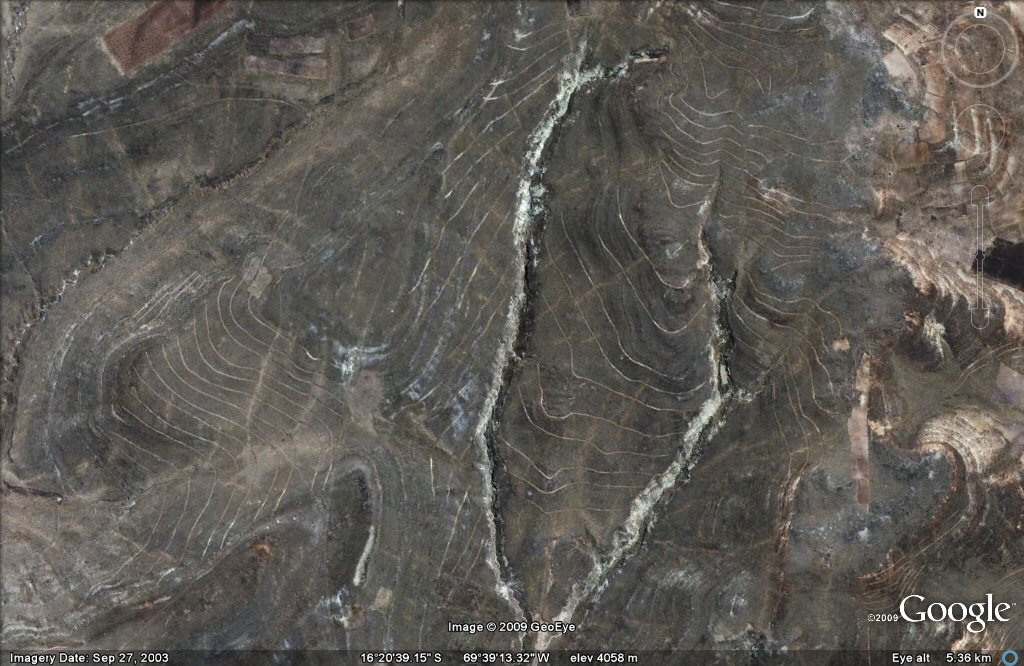
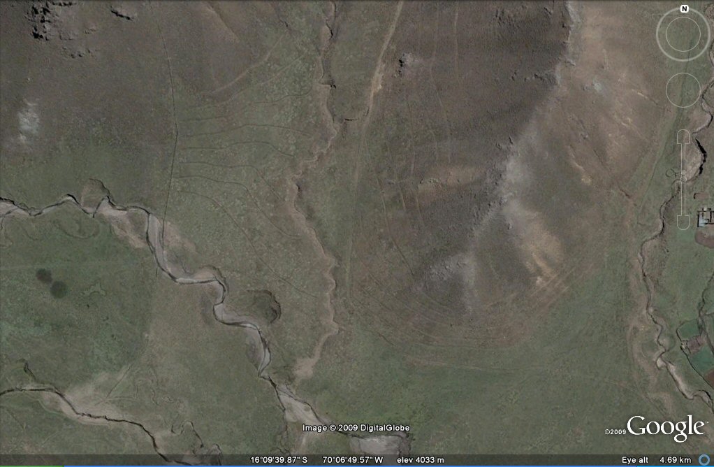
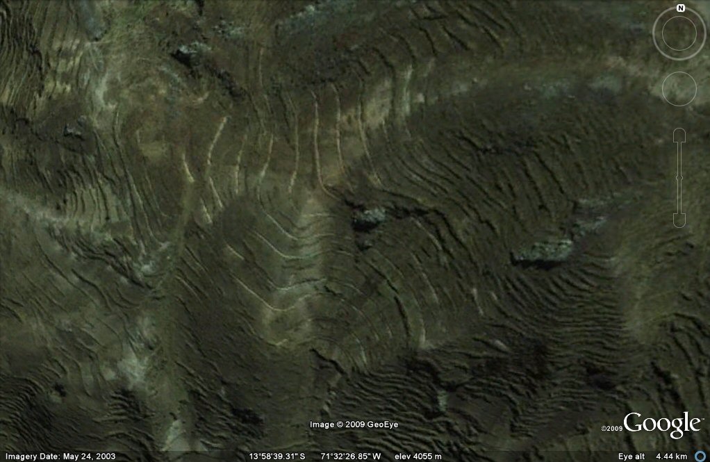
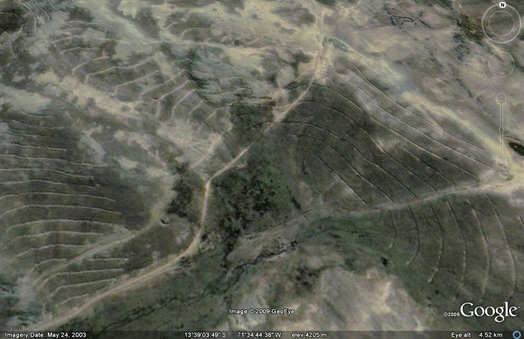
Above, contour forms/ancient irrigation patterns seen on Google Earth in the Peru side of the Altiplano..
Cusco area
J.M.Allen 22 Nov 2009
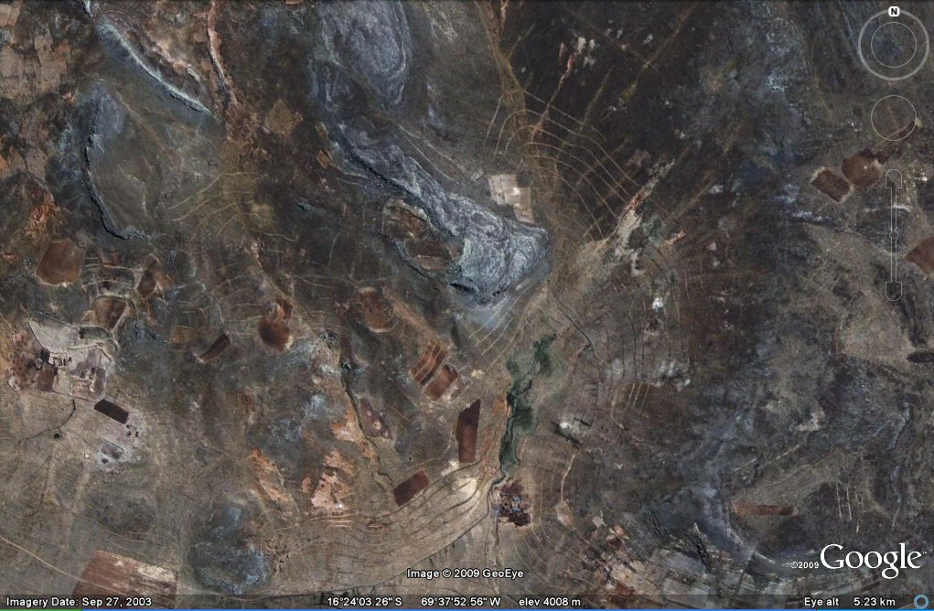
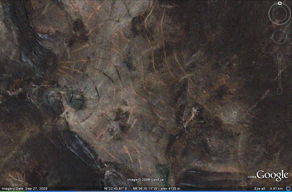
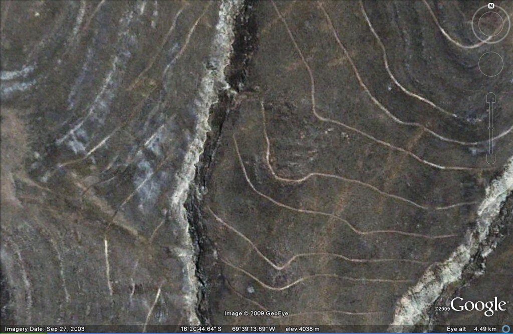
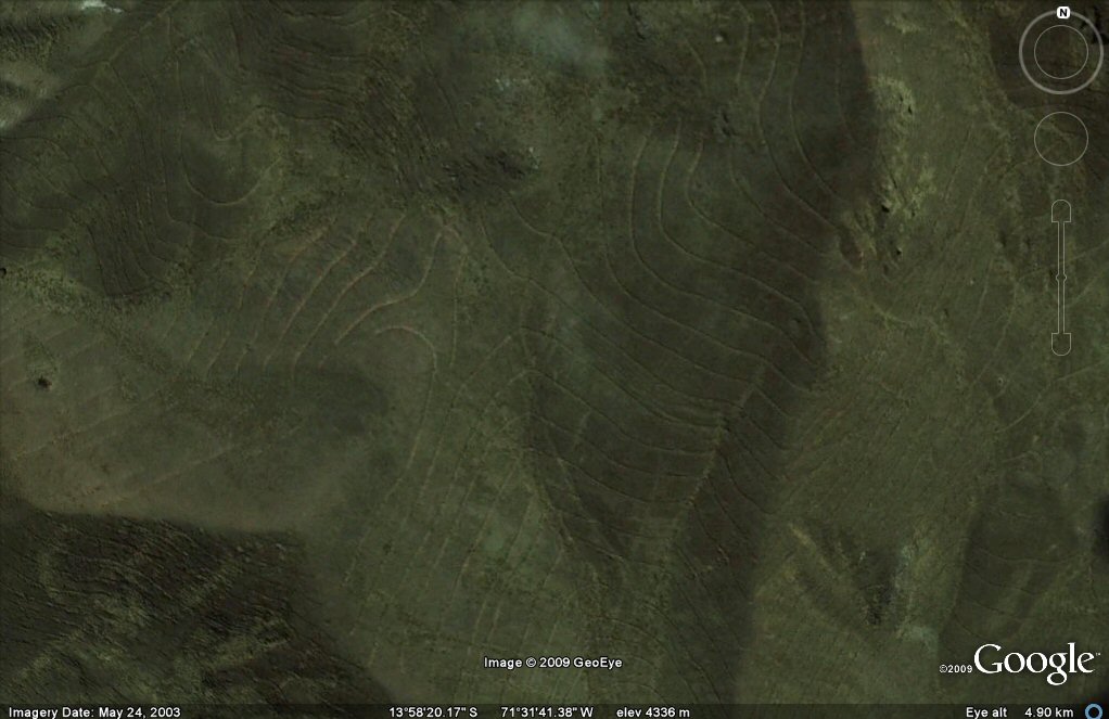
Above, contour forms/ancient irrigation patterns seen on Google Earth in the Peru side of the Altiplano..
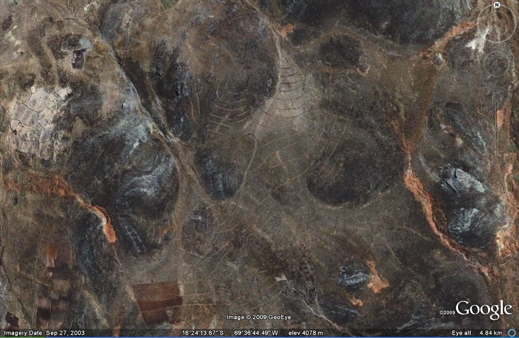
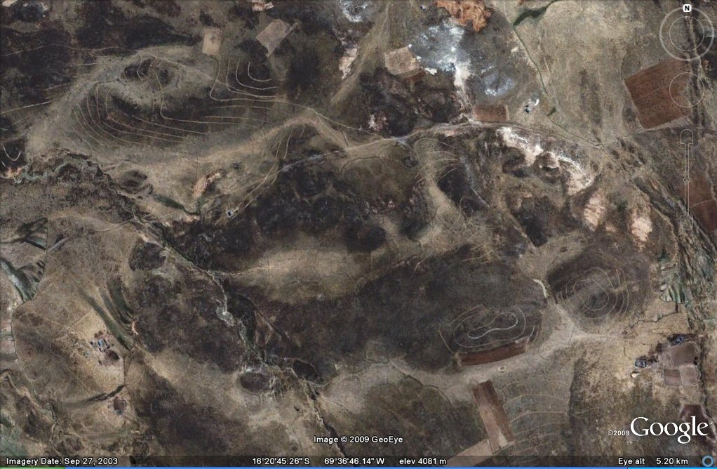
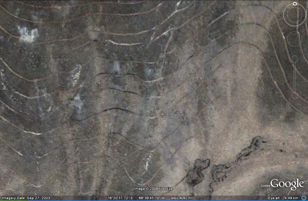
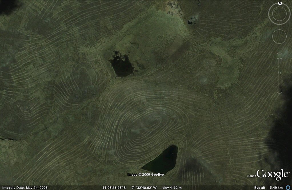
Above, contour forms/ancient irrigation patterns seen on Google Earth in the Peru side of the Altiplano..
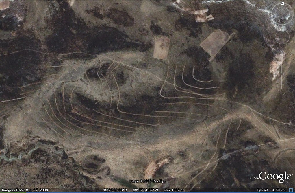
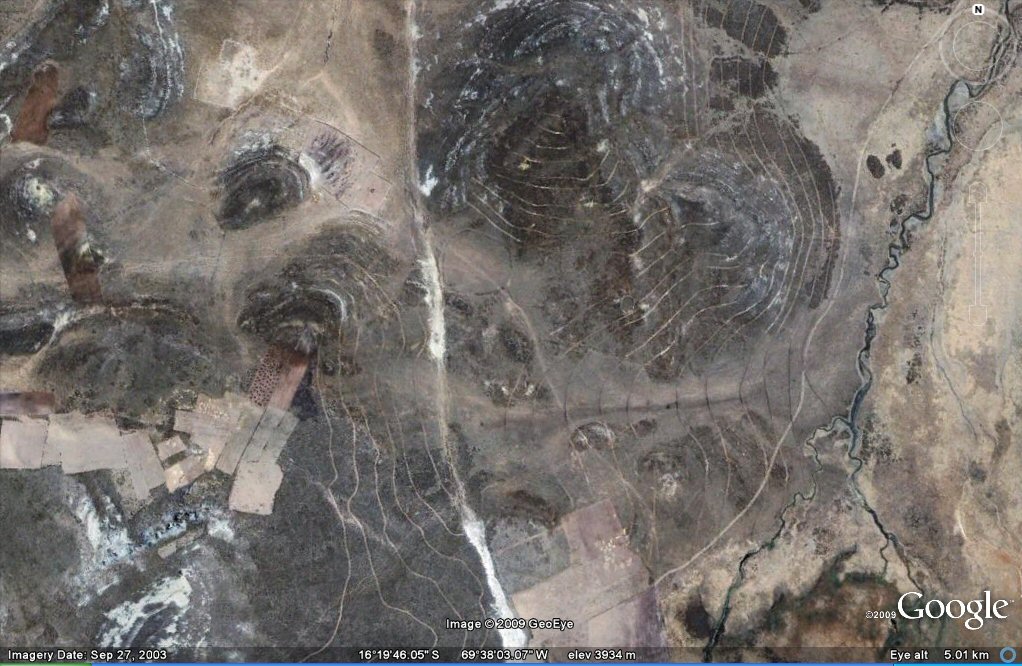
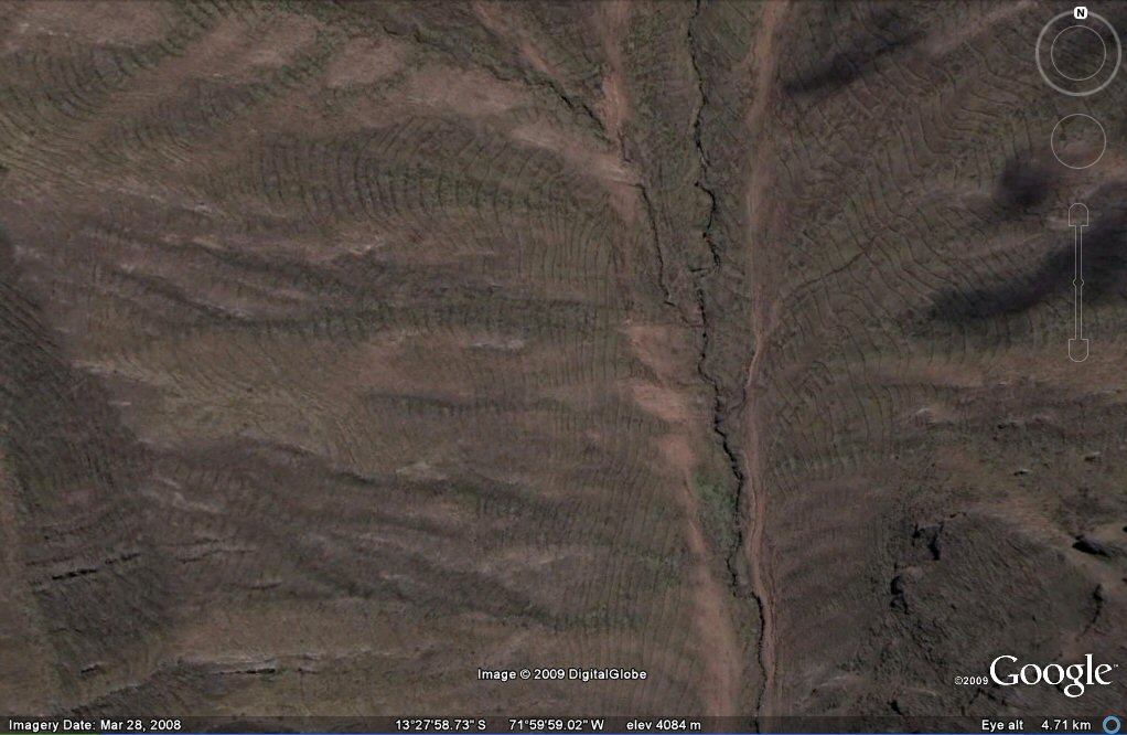
Above, contour forms/ancient irrigation patterns seen on Google Earth in the Peru side of the Altiplano..
Above, contour forms/ancient irrigation patterns seen on Google Earth in the Peru side of the Altiplano..
Above, contour forms/ancient irrigation patterns seen on Google Earth in the Peru side of the Altiplano..
Above, contour forms/ancient irrigation patterns seen on Google Earth in the Peru side of the Altiplano..
Above, contour forms/ancient irrigation patterns seen on Google Earth in the Peru side of the Altiplano..
Above, contour forms/ancient irrigation patterns seen on Google Earth in the Peru side of the Altiplano..
Above, contour forms/ancient irrigation patterns seen on Google Earth in the Peru side of the Altiplano..
Above, contour forms/ancient irrigation patterns seen on Google Earth in the Peru side of the Altiplano..
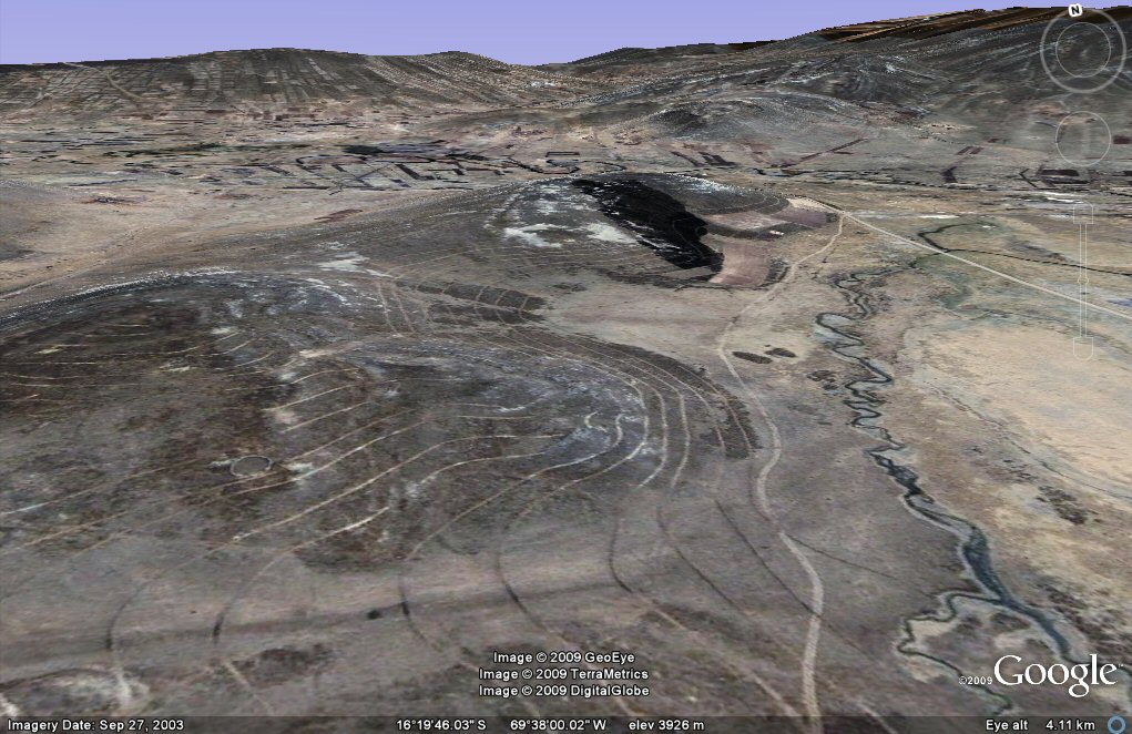
Above, oblique view of contour forms/irrigation channels seen on Google Earth in the Peru side of the Altiplano..
Above, contour forms/ancient irrigation patterns seen on Google Earth in the Peru side of the Altiplano..
Above, contour forms/ancient irrigation patterns seen on Google Earth in the Peru side of the Altiplano..
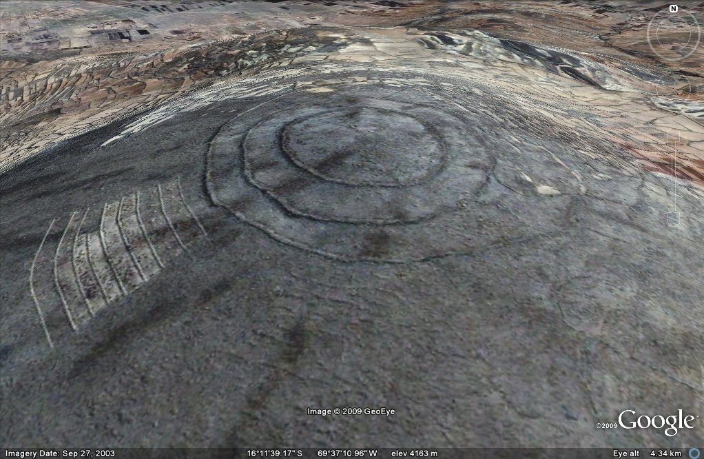
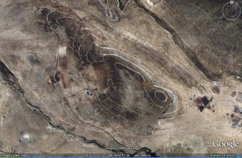
Above, oblique view of circular contour forms/irrigation channels seen on Google Earth in the Peru side of the Altiplano..
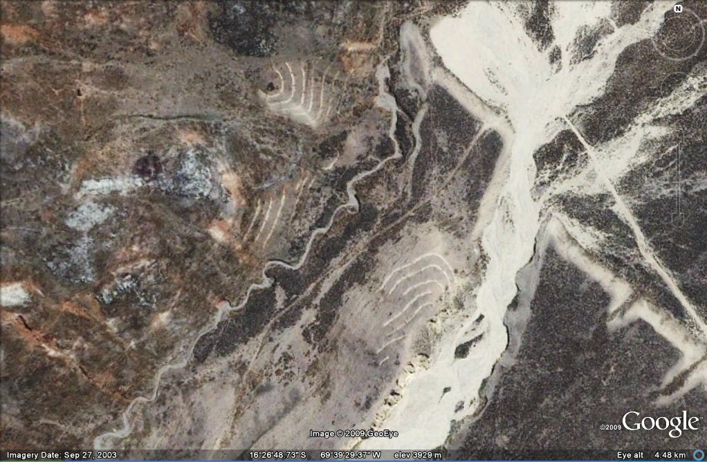
Above, these contour forms/irrigation channels have almost disappeared from view.
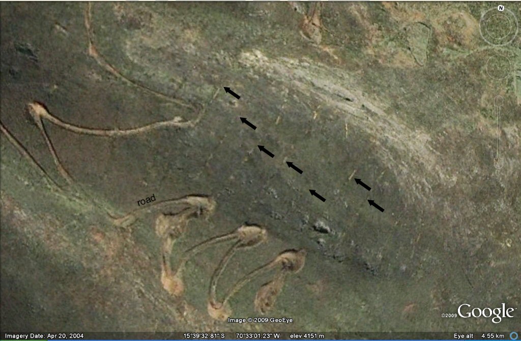
Above, these contour forms/irrigation channels (arrowed) have almost disappeared from view.
Above, agricultural terraces in the Cusco area.
Above, oblique view of agricultural terraces in the Cusco area.
Above, oblique view of agricultural terraces with gravity fed irrigations canals in the Cusco area.
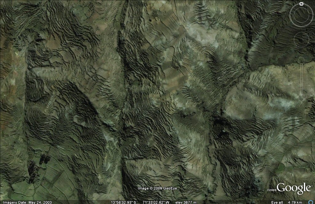
Above, contour forms/irrigation channels in the Cusco area.
Above, contour forms/irrigation channels in the Cusco area.
Above, contour forms/irrigation channels in the Cusco area.
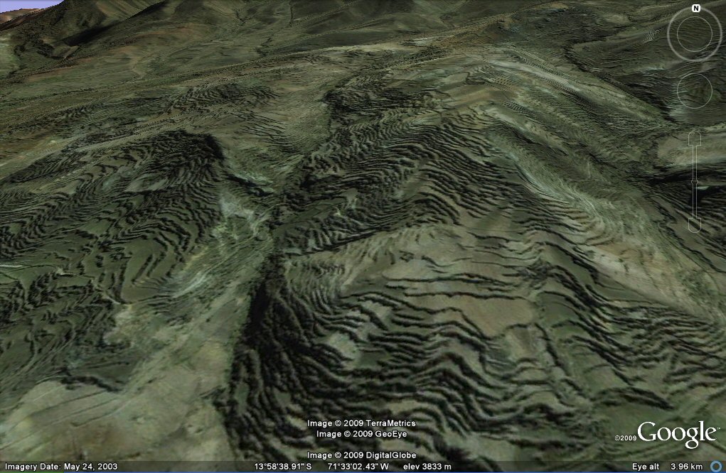
Above, close-up oblique view of contour forms/irrigation channels in the Cusco area.
See also contours forms/irrigation channels on Bolivian side of Altiplano
See also "geoglyph" and other agricultural formations
in the
Oruro and Tiwanaku/La Paz regions
See also ringed hills page for views of ringed hilltops
Oruro and Tiwanaku/La Paz regions
See also earthquakes page for Oruro and Tiwanaku/La Paz regions
See also
canals gallery for views of canals in the Oruro region
webatlantis@hotmail.com