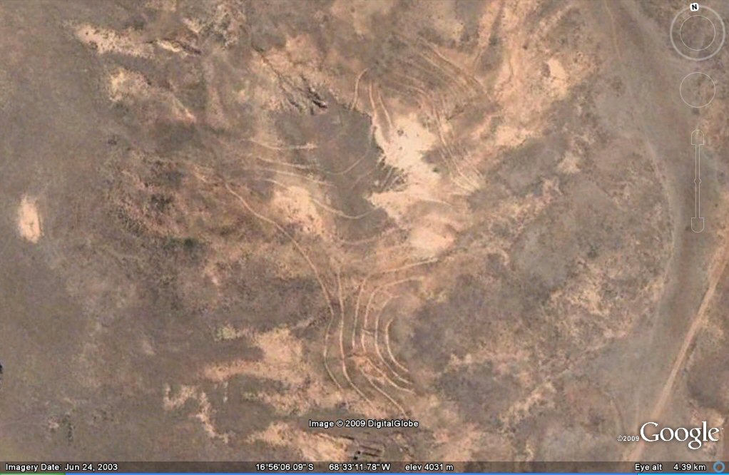
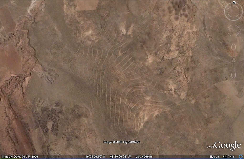
Above, contour forms/irrigation system seen on Google Earth in the Bolivian side of the Altiplano..
 Contour forms on the Bolivian side of the Altiplano
Following on from contour-like formations seen on the Peruvian side of
the Altipano, this page shows similar formations on the Bolivian side of the Altiplano
south of La Paz.
Instead of connecting lines of equal altitude in the way that true
contour lines do, these lines when measured by Google Earth appear to
ascend or descend in altitude along their length - suggesting maybe
another form of gravity fed canal based irrigation culture.
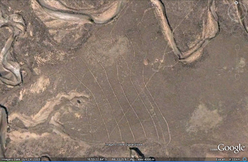
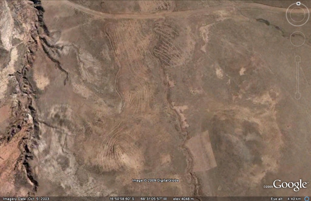
Above, contour forms/irrigation system seen on Google Earth in the Bolivian side of the Altiplano..
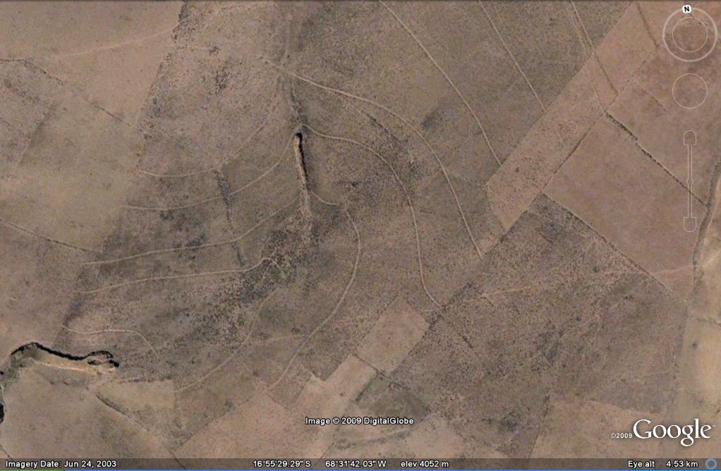
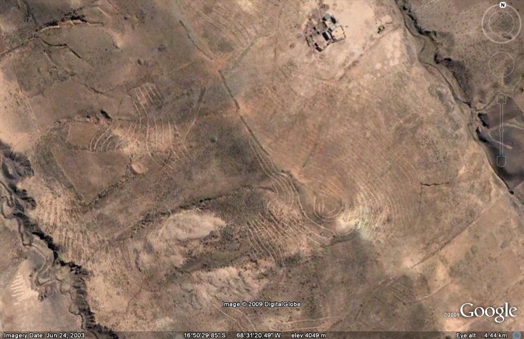
Above, contour forms/irrigation system seen on Google Earth in the Bolivian side of the Altiplano.

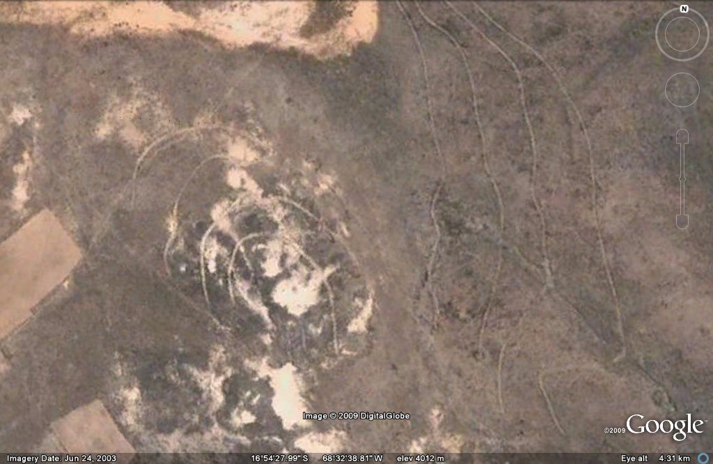
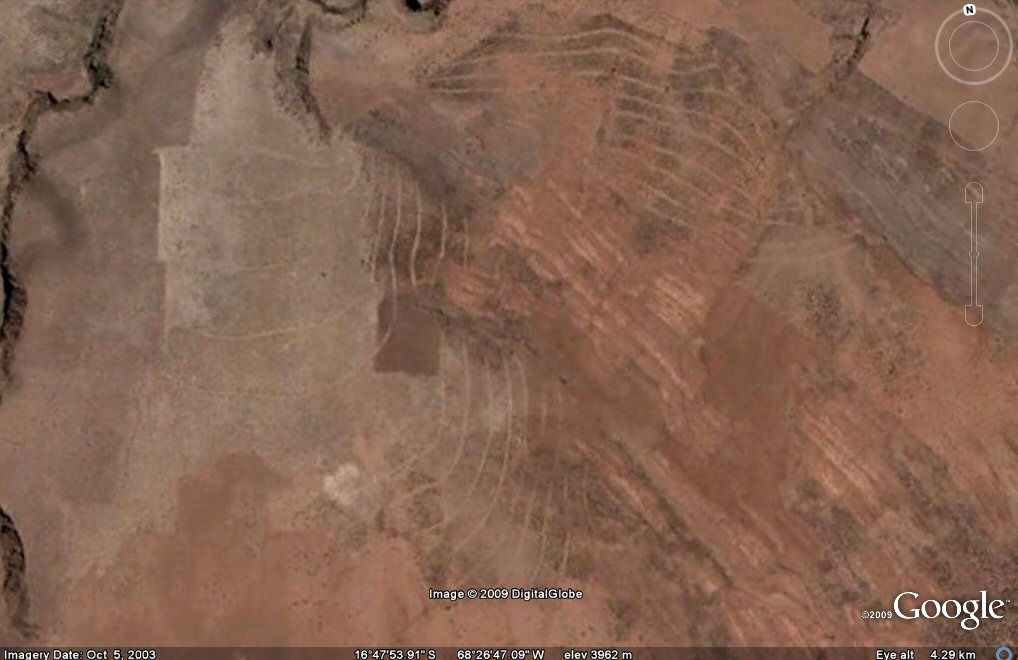
Above, contour forms/irrigation system seen on Google Earth in the Bolivian side of the Altiplano..
Above, contour forms/irrigation system seen on Google Earth in the Bolivian side of the Altiplano..

Above, contour forms/irrigation system seen on Google Earth in the Bolivian side of the Altiplano, oblique view.

Above, contour forms/irrigation system seen on Google Earth in the Bolivian side of the Altiplano.
Above, contour forms/irrigation system seen on Google Earth in the Bolivian side of the Altiplano.

Above, contour forms/irrigation system seen on Google Earth in the Bolivian side of the Altiplano.
Above, contour forms/irrigation system seen on Google Earth in the Bolivian side of the Altiplano.

Above, contour forms/irrigation system seen on Google Earth in the Bolivian side of the Altiplano.
Above, contour forms/irrigation system seen on Google Earth in the Bolivian side of the Altiplano.

Above, contour forms/irrigation system seen on Google Earth in the Bolivian side of the Altiplano.
Above, contour forms/irrigation system seen on Google Earth in the Bolivian side of the Altiplano.

Above, contour forms/irrigation system seen on Google Earth in the Bolivian side of the Altiplano.
Above, contour forms/irrigation system seen on Google Earth in the Bolivian side of the Altiplano. The system probably took water from
hillside streams and distributed it laterally along the hillsides using gravity-fed canals which give a contour-like appearance.
Some areas appear to have been hit by earthquakes
or fallen into disuse and planted over by later crops such as the photo above.
J.M.Allen 28 Nov 2009
webatlantis@hotmail.com
