Graciela Hostel,
and
Explorers Inn
Oruro
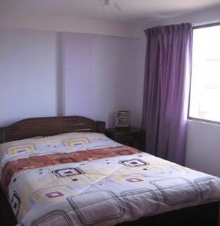
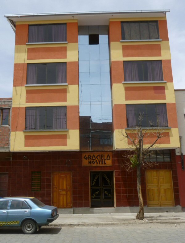
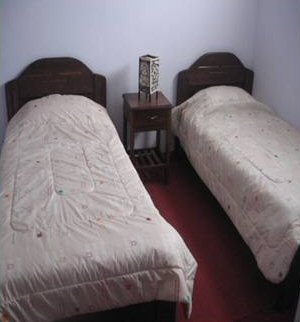
Graciela Hostel in Oruro
Graciela Hostel is only five blocks west of the bus terminal and well placed for the daily markets and access to the plaza principal in the centre of Oruro.
We are a small newly opened hostel and can also advise on tours of the region or arrange transportation.
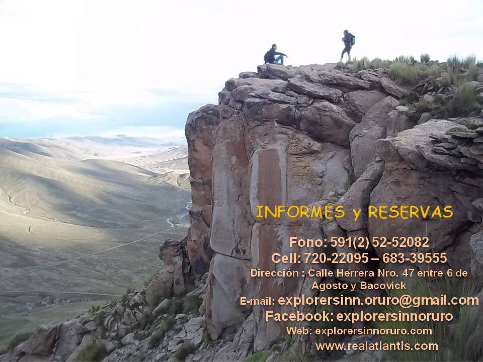
Please contact
explorersinn.oruro@gmail.com
Tel 591 (2) 52-52082
Graciela Hostel
Contact details
Explorers Inn
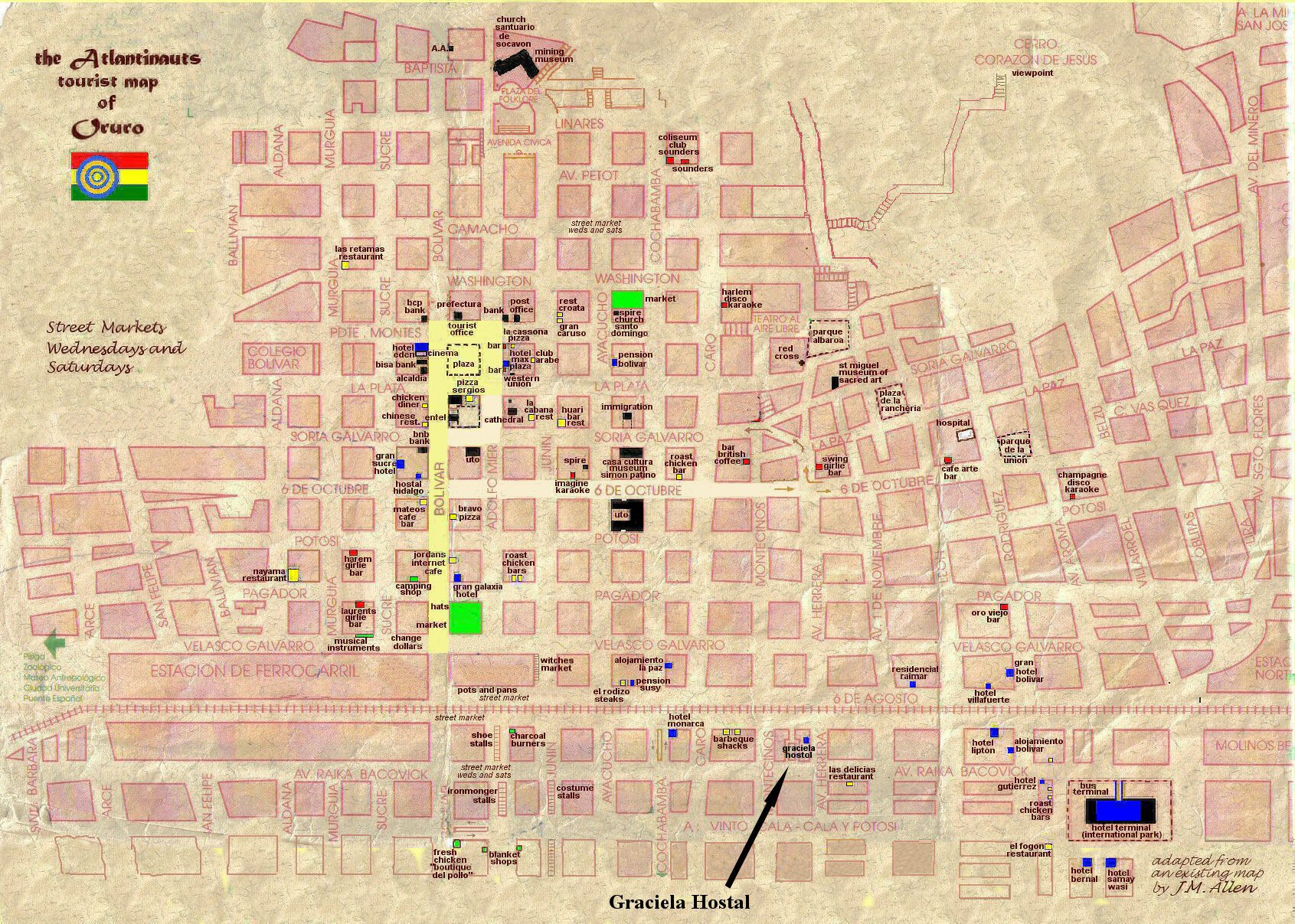
Above, Oruro city plan showing Graciela Hostal.
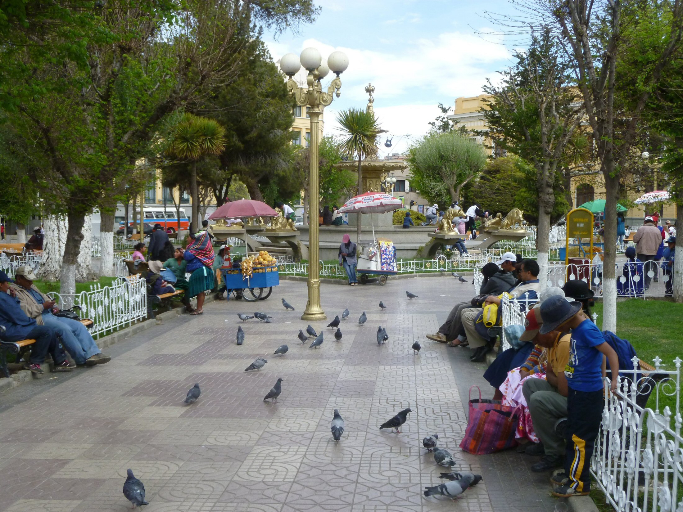
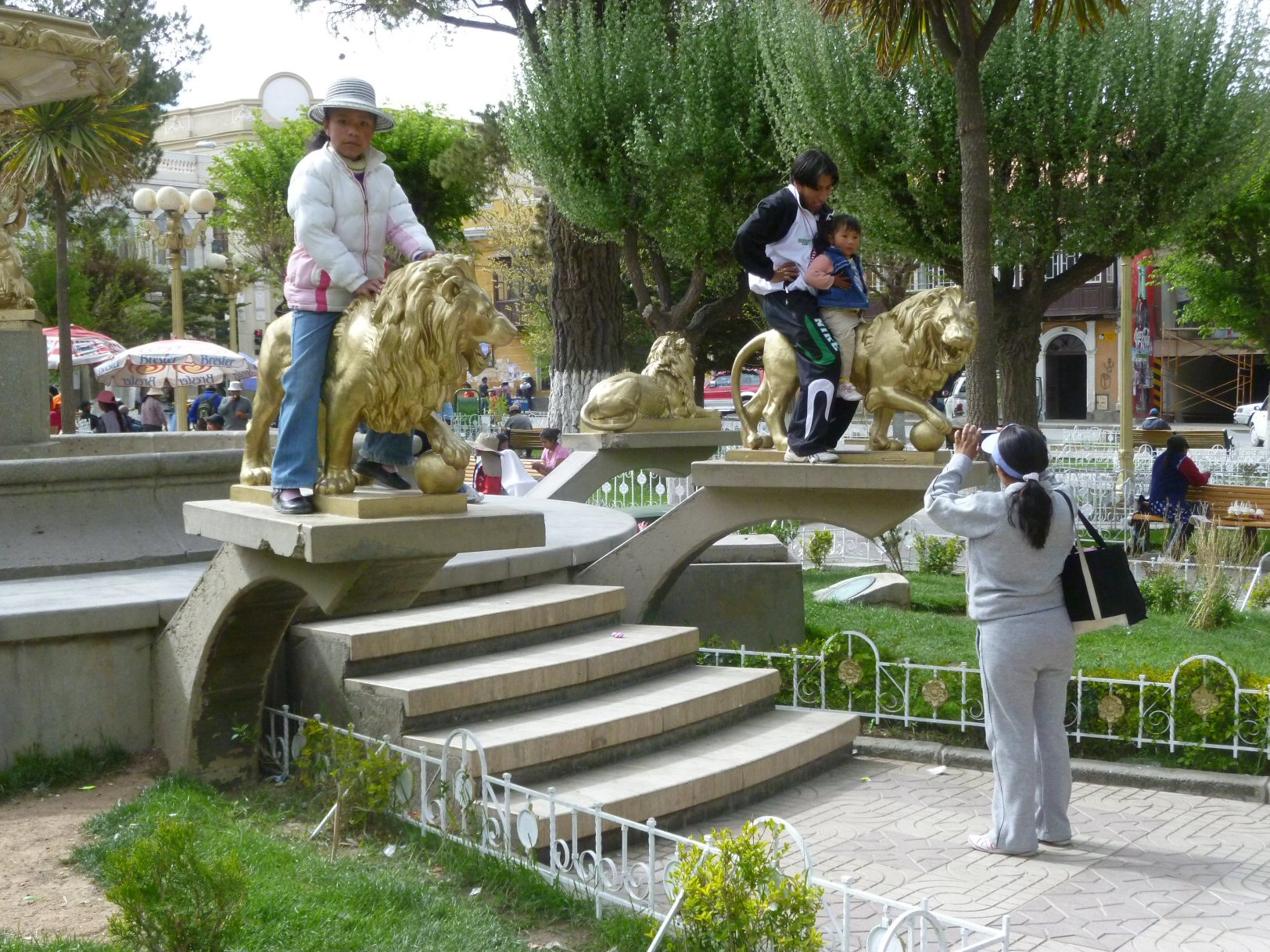
The plaza principal or main square is a wonderful attraction right in the centre of Oruro.
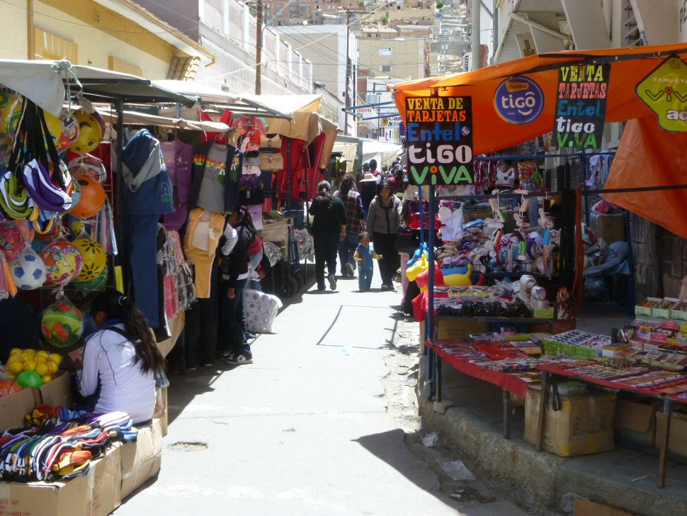
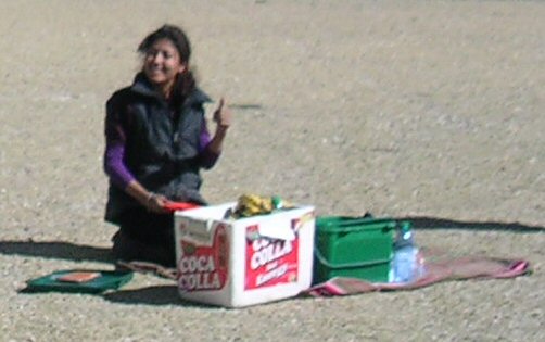
Oruro is also well known for its daily campesino market and on
Wednesdays and Saturdays is transformed by an even larger street market.
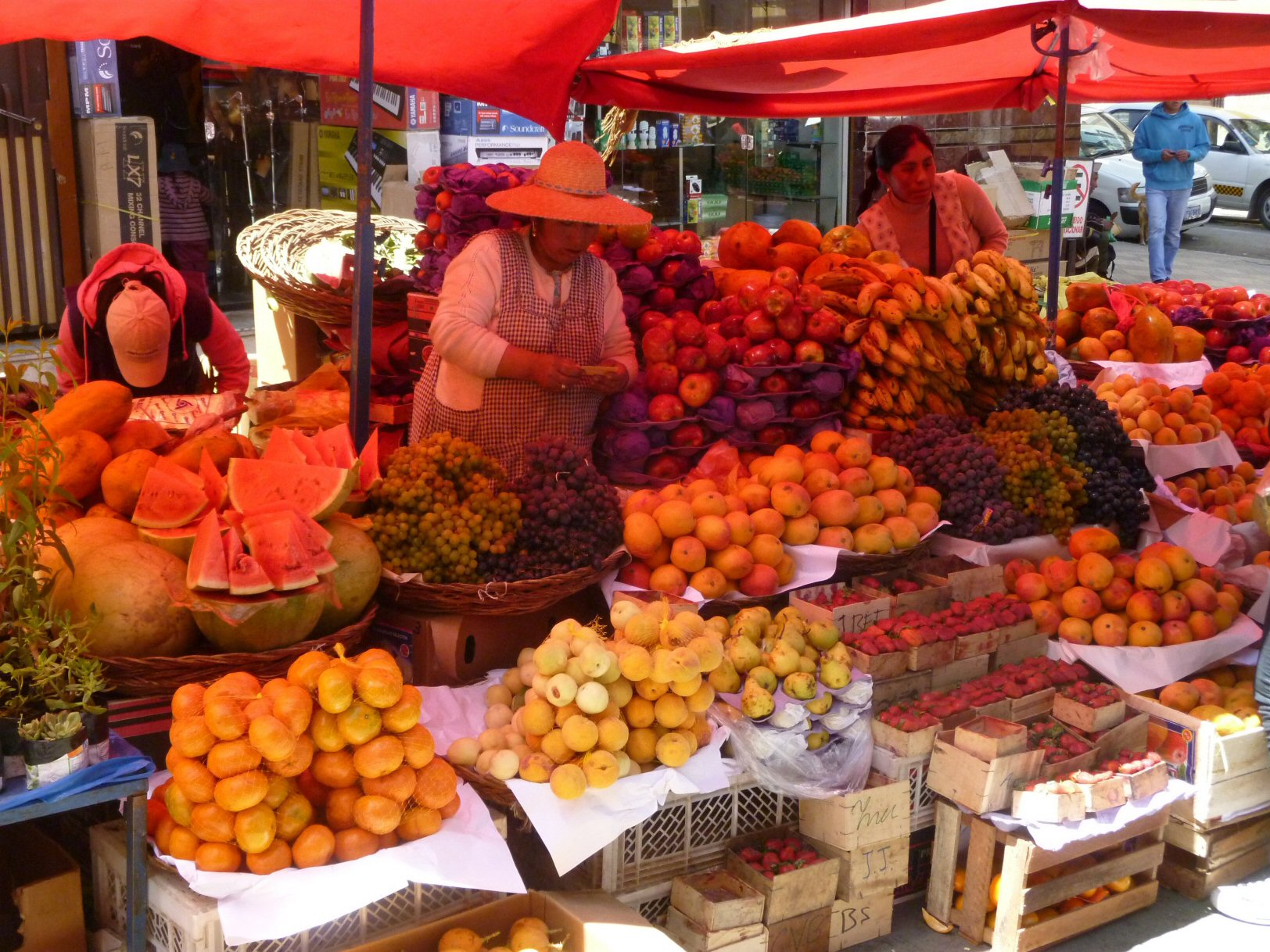
Stall of fruits in Oruro market.
The city of Oruro lies north of the salty lakes Uru-Uru and Poopó and it is just three hours (by bus) south from La Paz. Located at an altitude of 3709 metres above sea level, Oruro its well known for its cold weather during winter - remember winter in Oruro is summer in the northern hemisphere and summer in Oruro is winter in the northern hemisphere! Warmer temperatures generally take place during August, September and October.
How to get to Oruro
Several bus companies connect Oruro to the main cities of Bolivia.
Travel time to:
La Paz: 3-4 hours; Potosi: 5 hours; Cochabamba: 4-5 hours; Sucre: 8-10
hours; Santa Cruz de la Sierra: 18-20 hours. There are also buses to
Chile.
You can also travel by train from Oruro to Uyuni and Villazon.
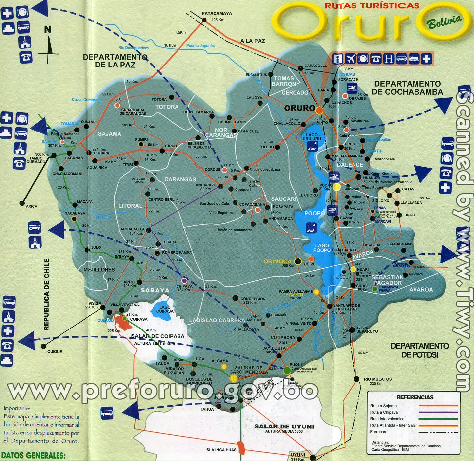
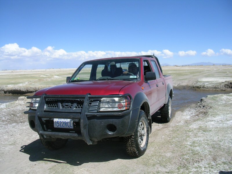
Routes around Oruro
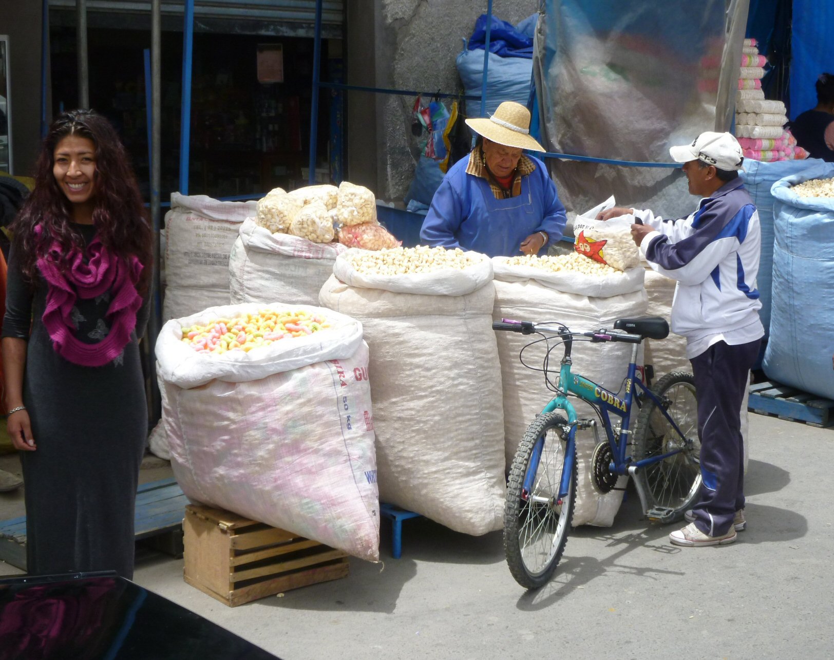
Peanut stall in Oruro market.
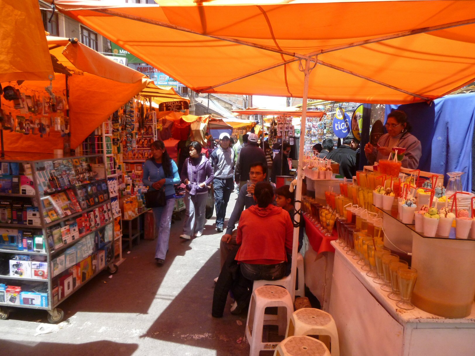
some refreshments.
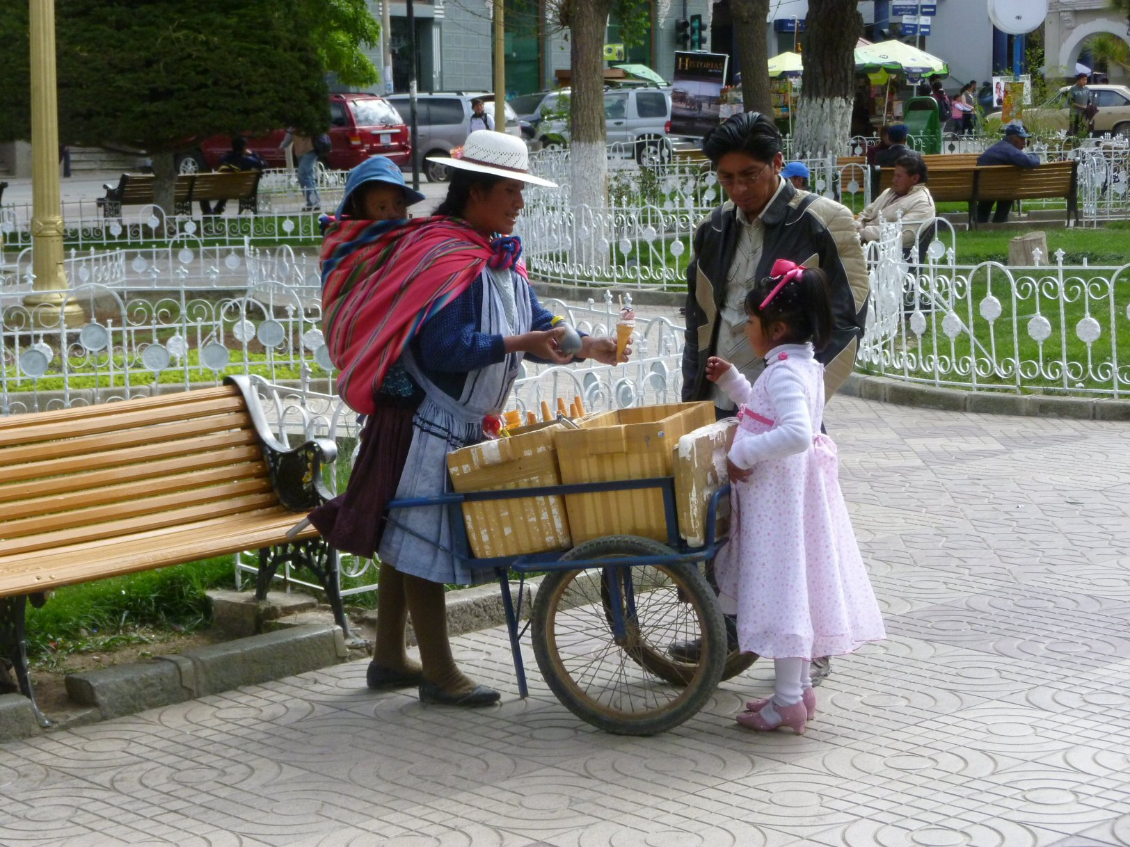
an ice for the little one.
Well, we had a great time!
Always somewhere to explore in the Oruro region - boldly go where many years before someone else went before...
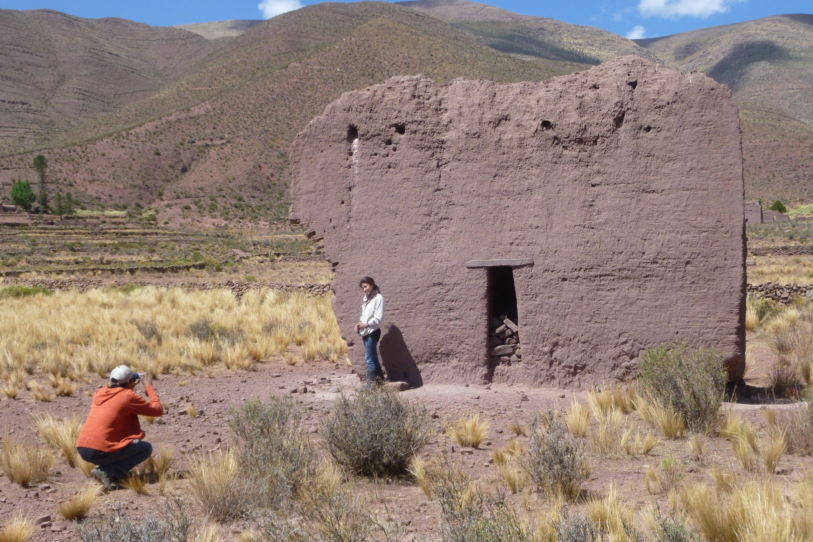
don't forget your camera for the mysteries of a region lost in time.....
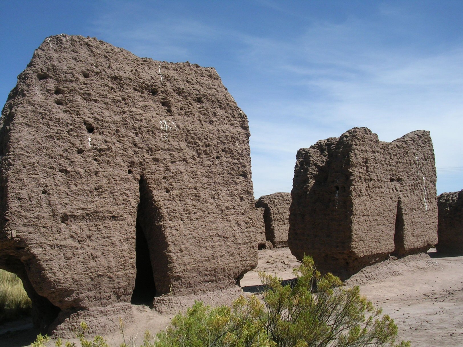
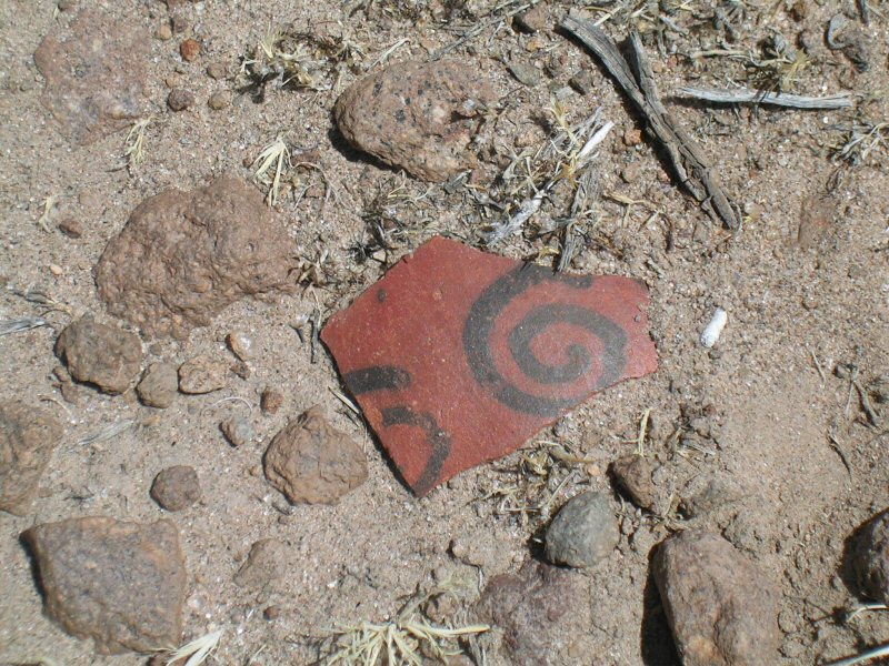
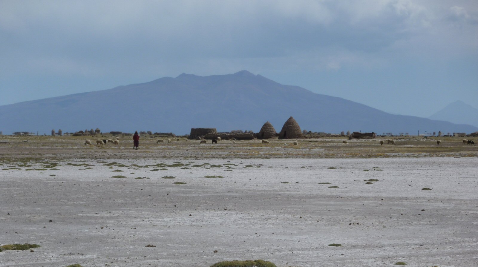
mysterious chulpas or burial tombs.....
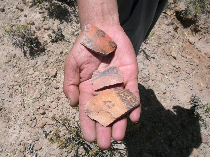
you never know what you might find .....
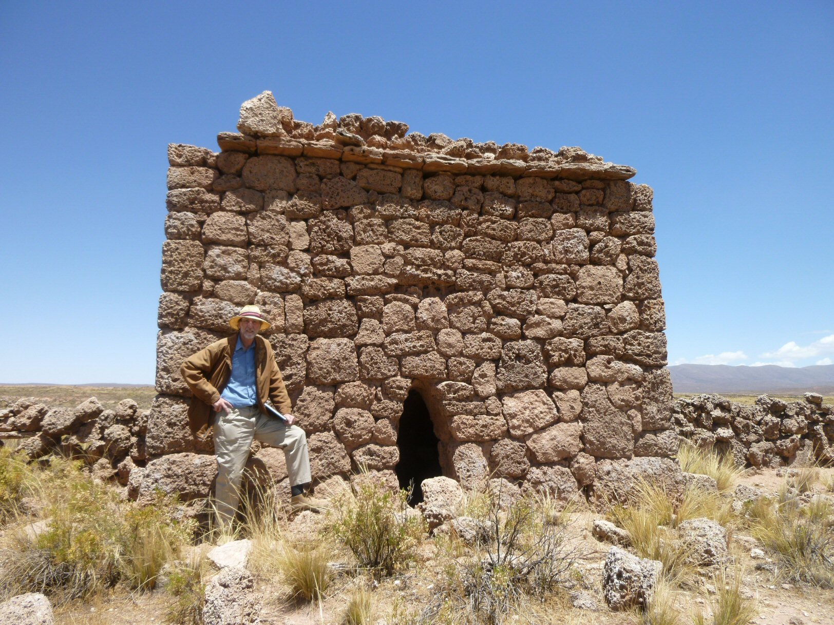
mysterious chulpas or burial tombs...
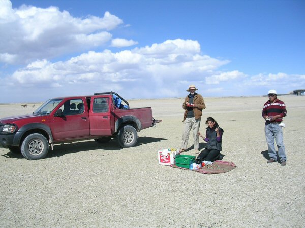
to boldly go ... and stop for lunch .....
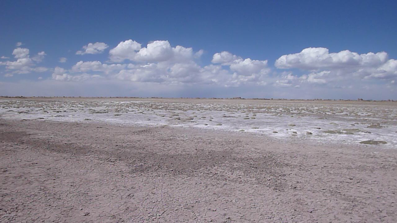
on our way to the Chipaya villaga on the Altiplano ...
near the Chipaya villaga on the Altiplano ...
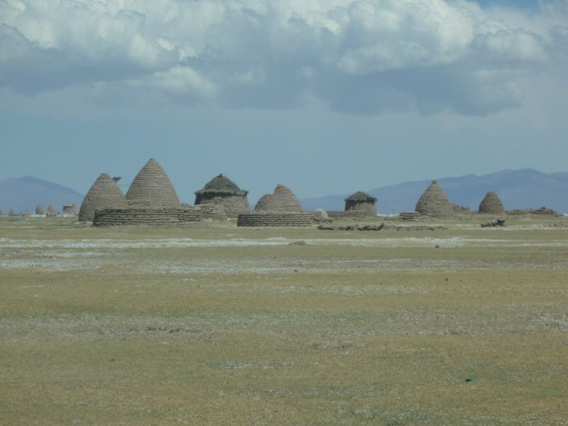
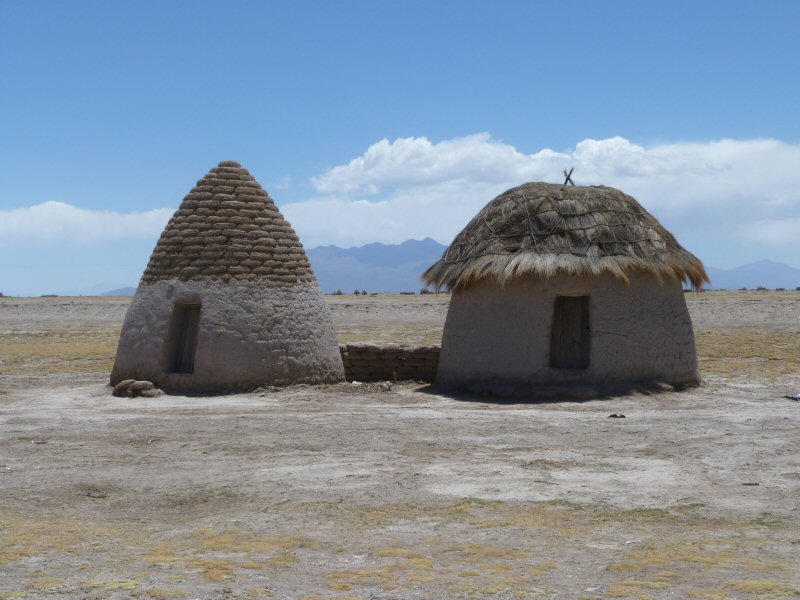
traditional Uru Chipaya houses on the Altiplano ...
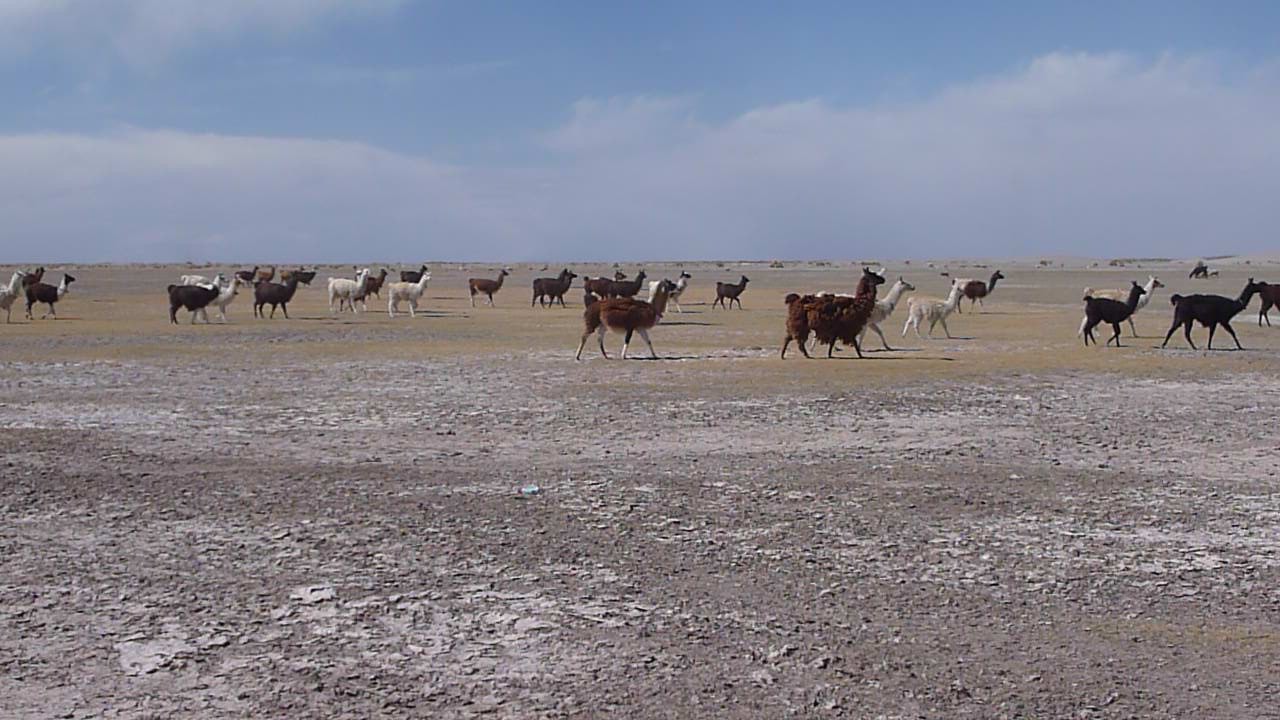
llamas crossing the Altiplano ...
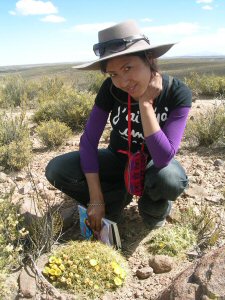
The Oruro region is ideal for photo safaris with its beautiful landscapes and historic setting.
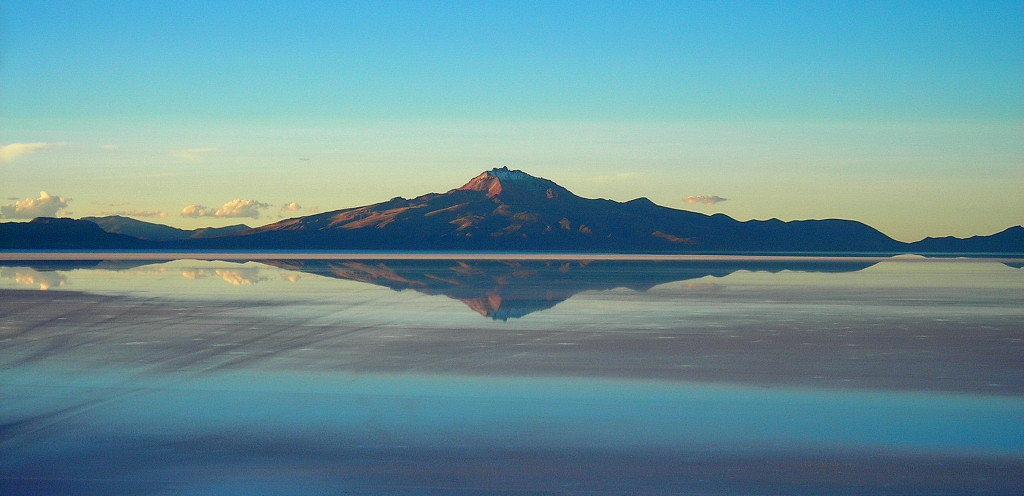
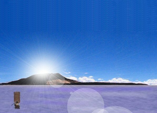
Volcan Tunupa in the centre of the rectangular Altiplano rises to a height of about 5200 metres (17060ft)
....
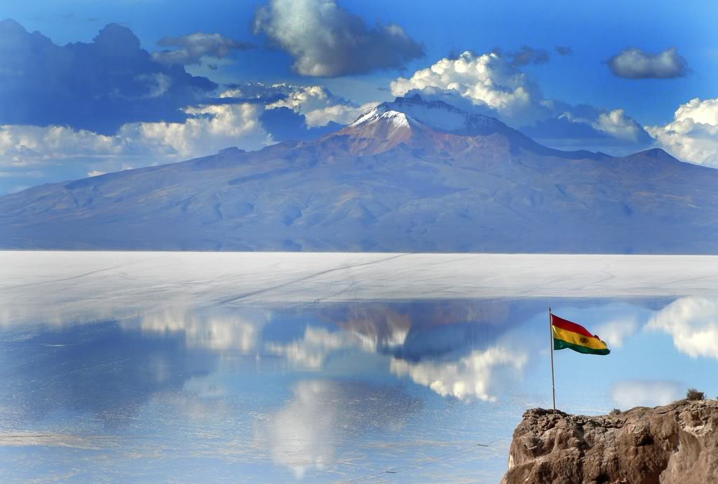
Volcan Tunupa is in the centre of the rectangular Altiplano surrounded today by salt salars
which turn to lakes in the wet season when they flood.
....
Volcan Tunupa when the salar turns into a salty sea.
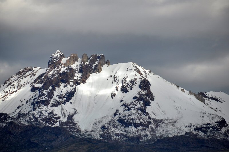
The central peak of Volcan Tunupa holds up the sky.
see also Tunupa Gallery for more photos of the salars and lakes around Oruro
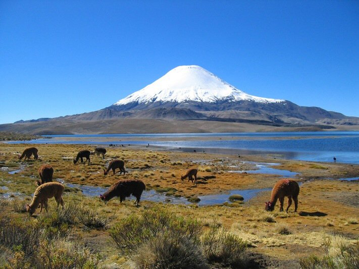
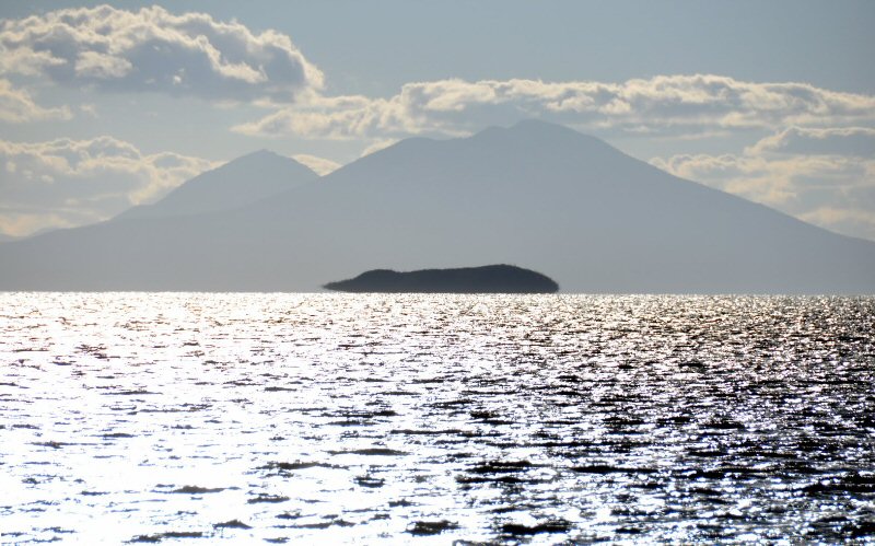
Volcan Sajama in the north-west corner of the rectangular Altiplano rises to 21,448ft (6537 metres)
and is sometimes considered to be Pacha Mama or Mother Earth herself - Gaia in the language of the western world....
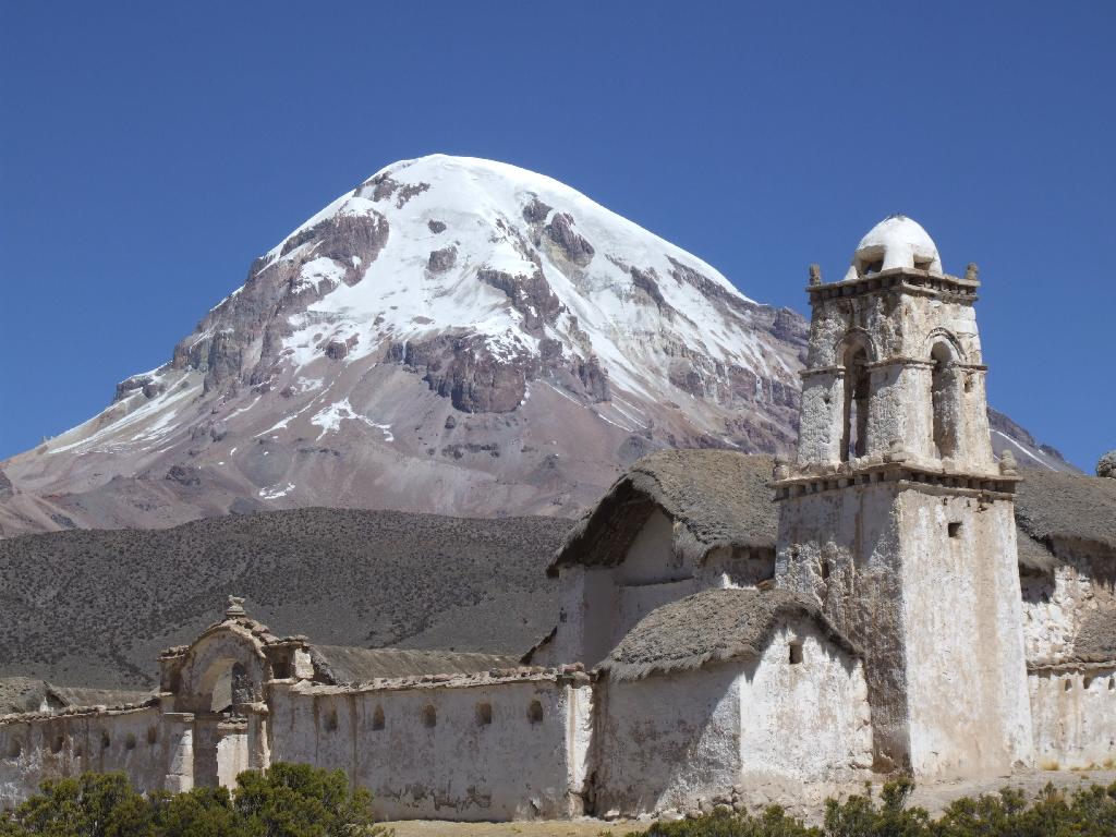
Nevado Sajama
see also The Atlantis Trail for more photos and recommended adventure route around Oruro